
What is recorded here
In improved pasture, on a low rise of rock outcrop with reasonable views. The monument generally exists as described by De Valera and Ó Nualláin (1961, 76, No. 100). Depicted and named as ‘Giant’s Grave’ on 1921 edition OS 6-inch map. A rectangular area (2.2m NE-SW; 1.3m NW-SE) defined by an orthostat on three sides. The orthostat to SE (L 1.8m; T 0.3m; int. H 1.12m; ext. H 0.8m) and the orthostat to SW (L 1.9m; T 0.17m; int. H 1.05m; ext. H 0.8m) are of similar dimensions. A third, substantial orthostat (L 2.7m; T 0.27m; int. H 1.05m; ext. H 0.85m) defines the NW side of the monument. A bullaun stone (CL035-163----) partially closes the opening to NE, leaving a small gap (Wth 0.52m) at N. According to local information, this boulder previously lay adjacent to NE of the monument and was moved here to close the interior from animals. It may have come from a holy well (CL035-001----) 350m to the N. The NW and SE sidestones have tilted to SE under the weight of the substantial capstone (2.48m NE-SW; 2.45m NW-SE; T 0.4m) which is also tilting very slightly to SE. An outer orthostat (L 1.05m; T 0.2m; H 0.87m) is parallel to the main weight-bearing one and leans outwards at the NE end of the SE side; a smaller orthostat is adjacent, at the SW end and an even smaller example is located between the two. The space between the inner, weight-bearing orthosat and the three outer examples on the SE side, is filled with a compact earthen material and loose stones. The single orthostat forming the SW side does not appear to bear any weight of the capstone; a number of small stones are banked up against the exterior of this side. A pair of outer upright orthostats are located c. 0.72m from the main weight-bearing example forming the NW side. An orthostat (1.1m; T 0.37m; H 0.62m) extends (long-axis NE-SW) from the W-corner and according to De Valera and Ó Nualláin (ibid.) may be the sidestone of a portico. Two substantial slabs (L 2.0m; Wth 0.9m; T 0.31m) lie flat, adjacent to NW, with two smaller slabs further to NE, which appear to have previously formed part of the monument. The interior is generally level and contains occasional loose stones. According to De Valera and Ó Nualláin (ibid.), the associated mound (13.5m E-W; 7.5m N-S) is roughly circular in plan. A tree-lined field boundary is c. 1.8m to NNW and truncates the mound.
The following items are uploaded:
CL035-002----_01.pdf Details from Ruaidhrí de Valera and Seán Ó Nualláin, Survey of the Megalithic Tombs of Ireland. Volume I. County Clare. (Dublin: Stationery Office, 1961)
CL035-002----_01.jpg View of NE side showing bullaun stone (CL035-163----) blocking the opening.
CL035-002----_02.jpg View from NW.
Compiled by: Mary Tunney and Alison McQueen
Date of upload: 25 October 2017
Neolithic passage tomb, dating to approximately 3000–2500 BCE. Its significance lies in its association with the broader passage tomb tradition of Ireland, reflecting early ritual and burial practices in the region.
The monument record does not grant public access. Check the route and ask the landowner before entering private land.
- What survives
- Recorded monument
Places near here
 Holy WellHoly well · 393 yd
 Dermot & Grania's BedArchaeological place · 823 yd
 Milltown Castle (in ruins)Castle, tower house · 1179 yd
 Fomerla Castle (in Ruins)Castle, tower house · 1379 yd
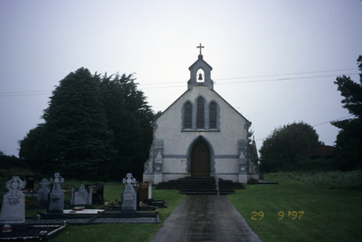 Saint Stephen's Catholic Churchchurch/chapel · 1.4 mi
 Scoil Náisiúnta Macaireschool · 1.4 mi
 The StablesGallery · 2.1 mi
 Cloghleagh RockNamed rock · 2.9 mi
 Derrymore WoodWood · 3.2 mi
 Kilcatherine GraveyardWood · 3.8 mi
 Quin AbbeyHeritage attraction · 4.1 mi
 Mulkere MemorialMemorial · 5.8 mi
Other information
Photo: Wanfried-Dublin · CC BY 4.0