
What is recorded here
On an area of rock outcrop in densely overgrown pasture with limited views. The well is described by Westropp (1919, 92) as having ‘a small oval rock basin or bullaun 22” x 18” and apparently 13” deep, without an apparent spring but said never to lack of water’. Westropp (ibid.) describes the well as having a poorly preserved housing built around it with and a door c. 30” high. He further describes a number of modern offerings during his visit and suggests that the well may be associated with St Mochulla, given its proximity to Tulla. Named ‘Holy Well’ on the 1921 edition of the OS 6-inch map. The surrounding field is named ‘Deer Park’ (associated with the former Newgrove House). A sub-oval well (0.7m NW-SE; 0.6m NE-SW; D 0.55m) of roughly squared rubble limestone which is obscured on the interior and exterior by a layer of mature mosses. The opening of the well faces NNW, where there is a slight drop down from the sides, to allow access. Unusual ovoid, granite boulders (max. L 0.3m; max. H 0.23m) flank either side of the well opening. The roughly squared and rubble limestone blocks form a drystone corbelling to line the well and enclose an area of stagnant water. The base of the well appears uneven and stony. The rock basin described by Westropp no longer seems to survive at this location and may have been moved. A bullaun stone (CL035-163----) of similar description is located c. 360m to the S, at the entrance to a megalithic tomb (CL035-002----).
The following photos are uploaded:
CL035-001----_01.jpg From NNW. NNW-elevation of well.
CL035-001----_02.jpg From NNW. Oblique plan view of well.
CL035-001----_03.jpg From NNW. Context view of well in surrounding scrub.
Compiled by: Mary Tunney and Alison McQueen
Date of upload: 24 October 2017
Linked to Saint Brigid, the well is traditionally associated with healing and protection, with pilgrims historically visiting to seek cures for ailments and to collect water for blessings. The bullaun stone suggests a pre-Christian ritual use, later Christianized, reflecting the common pattern of early Irish holy wells.
The monument record does not grant public access. Check the route and ask the landowner before entering private land.
- What survives
- Recorded monument
Places near here
.jpg?width=1280) Giants GraveWedge tomb · 393 yd
Giants GraveWedge tomb · 393 yd Dermot & Grania's BedArchaeological place · 989 yd
 Milltown Castle (in ruins)Castle, tower house · 1120 yd
 Fomerla Castle (in Ruins)Castle, tower house · 1756 yd
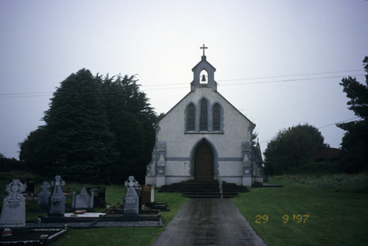 Saint Stephen's Catholic Churchchurch/chapel · 1.2 mi
 Scoil Náisiúnta Macaireschool · 1.2 mi
 The StablesGallery · 2.2 mi
 Derrymore WoodWood · 3.1 mi
 Cloghleagh RockNamed rock · 3.2 mi
 Kilcatherine GraveyardWood · 3.8 mi
 Quin AbbeyHeritage attraction · 4.3 mi
 Mulkere MemorialMemorial · 5.6 mi
Other information
Photo: Credit not shown in the picture search · Rights wording not checked; contact us if this picture should be removed