What is recorded here
Situated on a gentle E-facing slope and associated with the tower house (ME029-017----). North, E and S of the tower house there are fields covering an area of about 9 acres (c. 3.5 ha). They are rectangular (dims c. 50m x c. 30m) and defined by scarps and banks. Some old stream beds run through the fields and a possible house site is visible as a grass-covered platform (dims 8m E-W; 6m N-S) that is slightly sunken at the centre with a break for a doorway towards the E end of the perimeter at N.
The above description is derived from the published 'Archaeological Inventory of County Meath' (Dublin: Stationery Office, 1987). In certain instances the entries have been revised and updated in the light of recent research.
Compiled by: Michael Moore
Date of revision: 28 June 2016
The monument record does not grant public access. Check the route and ask the landowner before entering private land.
- What survives
- Recorded monument
Places near here
 Fraine CastleCastle, tower house · 115 yd
 IndicatedFairy fort / earthen ringfort · 465 yd
 FraineMountain / peak · 470 yd
 CastleCastle, unclassified · 1584 yd
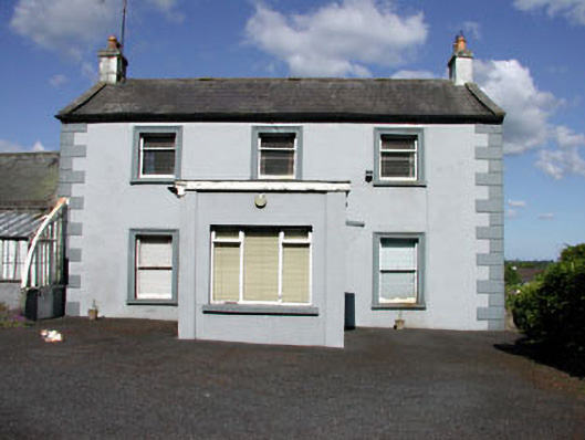 Castletown Housefarm house · 1.2 mi
 Fort woodedFairy fort / earthen ringfort · 1.3 mi
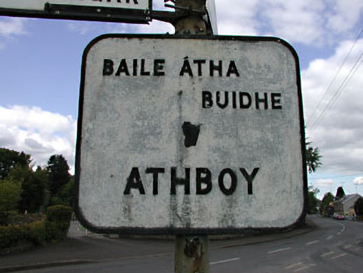 sign postsign post · 1.3 mi
 Beggarbush WoodWood · 4.3 mi
 Moneen WoodWood · 4.3 mi
 Drewstown LittleMountain / peak · 4.3 mi
 FarmaphobiaHeritage attraction · 4.6 mi
 Causey FarmHeritage attraction · 4.6 mi