What is recorded here
Castle, motte and bailey in Moyrath stands at the north end of a low ridge in County Meath, a flat-topped grass mound still ringed by a wide fosse beside a rectangular bailey. The northern edge has been quarried, yet the causeways and outer bank remain visible beneath bushes and grass. Someone shaped that ridge into a defensible place, then lived beside or within it until stone-hungry later hands took part of the mound. What is left is enough to show the form: a small castle landscape where the earth still marks the lines of its making.
Located at the N end of a low NNW-SSE ridge. This is a flat-topped and grass-covered mound (dims of top 11m N-S; c. 30m E-W; diam. of base c. 40m N-S; H 3m at N to 4m at S) with some bushes. It is defined by a wide fosse (at S: Wth of top 10m; ext. D 1.5m), but the N part of the mound had been quarried. There is a grass-covered rectangular bailey (dims 9m N-S; c. 40m E-W) attached ESE-SSW defined by a fosse (at S: Wth of top 7m; ext. D 0.7m) and an outer bank (Wth 4m; ext. H 0.3m) with some bushes at S. There is a causeway (Wth of top 2.3m) connecting the motte and bailey at SSE, and a causeway (Wth of top 2.5m) across the fosse to the bailey at SSE.
The above description is derived from the published 'Archaeological Inventory of County Meath' (Dublin: Stationery Office, 1987). In certain instances the entries have been revised and updated in the light of recent research.
Compiled by: Michael Moore
Date of revision: 21 July 2016
The monument record does not grant public access. Check the route and ask the landowner before entering private land.
- What survives
- Recorded monument
Places near here
 IndicatedFairy fort / earthen ringfort · 695 yd
 St Mary's Church, (site of)Archaeological place · 749 yd
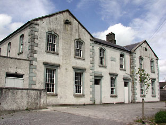 Saint Dympna's Hallalmshouse · 1.3 mi
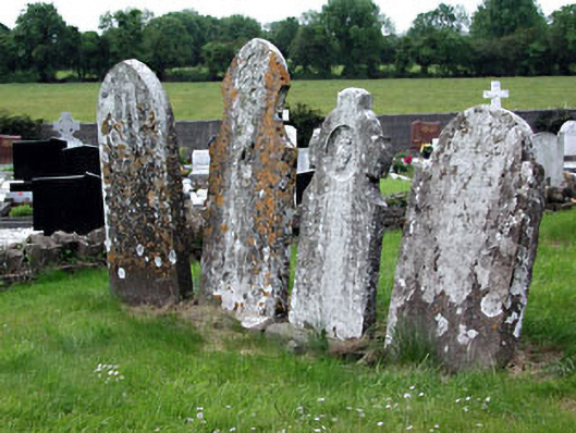 Saint Dympna's Cemeterygraveyard/cemetery · 1.3 mi
 Moyrath CastleCastle, tower house · 1.4 mi
 FraineMountain / peak · 1.9 mi
 MoatCastle, motte and bailey · 1.9 mi
 ScregganWood · 4.4 mi
 Persian WalnutPersian Walnut · 5.7 mi
 The New Line RoadMemorial · 8.4 mi
 BohermeenMountain / peak · 8.5 mi
 Croppies' GraveMemorial · 9.7 mi