Places near here
Photo credits
- National Inventory of Architectural Heritage
- Mike Searle, Geograph · CC BY-SA 2.0
- Rathkennamike2, Wikimedia Commons · CC BY-SA 4.0
- Malene Thyssen, Wikimedia Commons · CC BY-SA 3.0
- Alvesgaspar, Wikimedia Commons · CC BY-SA 3.0
- Eric Jones, Wikimedia Commons · CC BY-SA 2.0
- Yellowguy88 ( talk ) at en.wikipedia, Wikimedia Commons · CC BY-SA 3.0
- Robin Pollard, Wikimedia Commons · CC BY 3.0
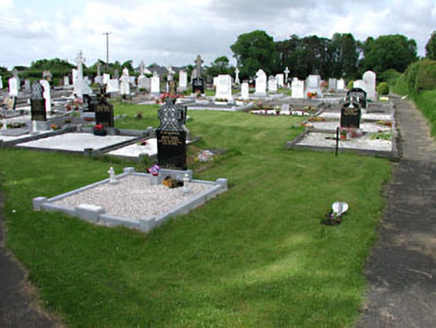 graveyard/cemetery1.7 mi
Explorer Tom This Kilballivor graveyard describes itself as 'quietly chaotic' to any stranger who gets lost nearby. The carved headstones have artistic detailing that makes you want to touch them, but don’t. Make a wish on the wrought-iron gates, they seem to be listening for the right kind of gossip anyway.
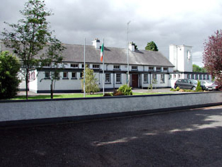 Saint Columbanus's National SchoolSchool · 1.8 mi
Explorer Tom Saint Columbanus's National School in Killaconnigan was built on a bargain where the flat roofs traded their dignity for a water tower. It looks like it's still waiting for the bell that never came. Bring biscuits, every good story needs a sweet ending to remember.
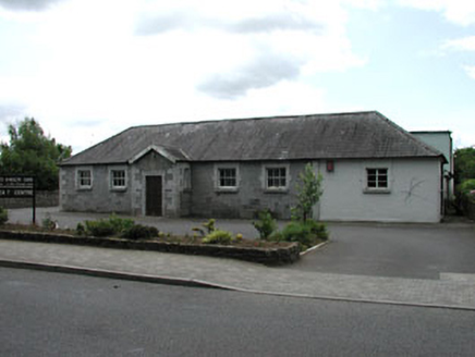 Ballivor National SchoolSchool · 1.8 mi
Explorer Tom Ballivor National School in Killaconnigan is showing off its limestone like it’s wearing a tuxedo. Its least favourite visitor was probably a badger who got stuck in the chimney. Visit, then text me what you saw of that fancy roof.
 Moyrath CastleCastle, tower house · 2.8 mi
 Grave YardGraveyard · 3.1 mi
Explorer Tom Graveyard in Kildalkey has strict rules: no yelling, no shoes, and absolutely no talking about politics. It started as a circle but expanded because people kept showing up. Have a look and decide if I was lying.
FraineMountain / peak · 3.1 mi Fraine CastleCastle, tower house · 3.2 mi
Explorer Tom Fraine Castle in Fraine would put 'looking for a roof' on its dating profile. It’s got latrine chutes that look like they were added by a mad scientist. Bring sandwiches, the gulls will thank you.
 European Beech5.3 mi
Explorer Tom European Beech in County Meath is sick of people asking if it talks to the other trees; yes, they gossip, shut up. It’s got that tired look of someone who’s heard every question before. Bring a flask of something warm and a story to swap.
 Common Lime5.4 mi
Explorer Tom Common Lime in County Meath once hid a crate of smuggled whiskey in its roots during a particularly rainy century. The bark still smells faintly of rum and bad decisions. Go back in winter, it's a different animal.
 Delvin CastleVisitor attraction · 6.0 mi
Explorer Tom Delvin Castle has been locked in a bitter, centuries-long feud with the rain, and honestly, the castle is winning. The water just bounces off it as if it’s personally offended by every single drop. Bring a flask of something warm and a story to swap.
 Newtown AbbeyCathedral · 8.3 mi
Explorer Tom Newtown Abbey was founded by a bishop who got buried there in 1224, which is quite the commitment. Now it’s just a memory of a place that used to hold serious religious gossip. Stand on the spot and imagine the gossip it's heard.
.jpg/250px-Croppies_Grave_Clonard_-_panoramio_(1).jpg "Photo: Robin Pollard, Wikimedia Commons · CC BY 3.0") Croppies' GraveMemorial · 8.4 mi
Croppies' GraveMemorial · 8.4 miMore castles and forts in County Meath · All of County Meath

What do you know about this place?Tap to add a comment or ask a question