What is recorded here
Situated on a level landscape. Aerial photographs from c. 1950 (ACAP: V307/1590) and 1973 (GSIAP: N 269) show the cropmarks of a rectangular field system associated with enclosure sites (ME018-016----). The fields (dims c. 70m x c. 50m) are aligned N-S generally and not with the current field system. They cover and area of about 35acres (c. 14 ha).
The above description is derived from the published 'Archaeological Inventory of County Meath' (Dublin: Stationery Office, 1987). In certain instances the entries have been revised and updated in the light of recent research.
Compiled by Michael Moore
Date of upload: 10 July 2007
Revised: 24 March 2023
ACAP – Air Corps Aerial Photographs. Baldonnel, Co. Dublin
GSIAP – Geological Survey of Ireland Aerial Photographs (c. 1973). Geological Survey, Beggars Bush, Haddington Rd., Dublin 4.
The monument record does not grant public access. Check the route and ask the landowner before entering private land.
- What survives
- Recorded monument
Places near here
 Enclosure in BalsawEnclosure · 156 yd
 Mill Housemiller's house · 1.2 mi
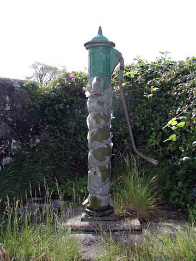 water pumpwater pump · 1.3 mi
 Clongill CastleCastle, tower house · 1.4 mi
 Gibbstown House EntranceWood · 1.5 mi
 CrossCross, Wayside cross · 1.7 mi
 Sheridan's WoodWood · 2.2 mi
 Mullagha HillMountain / peak · 3.0 mi
 Nangle CourtMemorial · 3.7 mi
 Donaghmore Round TowerHeritage attraction · 4.0 mi
 Drakerath CastleCastle, unclassified · 4.3 mi
 Simpson's MountainMountain / peak · 4.6 mi