
What is recorded here
Situated on a level landscape. Aerial photographs from c. 1950 (ACAP: V307/1590) and 1973 (GSIAP: N 269) show the cropmark of a circular enclosure (diam c. 35m) within the rectangular field system (ME018-015----). It does not appear on any other imagery.
The above description is derived from the published 'Archaeological Inventory of County Meath' (Dublin: Stationery Office, 1987). In certain instances the entries have been revised and updated in the light of recent research.
Compiled by: Michael Moore
Date of upload: 10 July 2007
Revised: 24 March 2023
ACAP – Air Corps Aerial Photographs. Baldonnel, Co. Dublin
GSIAP – Geological Survey of Ireland Aerial Photographs (c. 1973). Geological Survey, Beggars Bush, Haddington Rd., Dublin 4.
A local fairy fort (ringfort/rath); wider significance not recorded.
The monument record does not grant public access. Check the route and ask the landowner before entering private land.
- What survives
- Recorded monument
Places near here
 Mill Housemiller's house · 1.1 mi
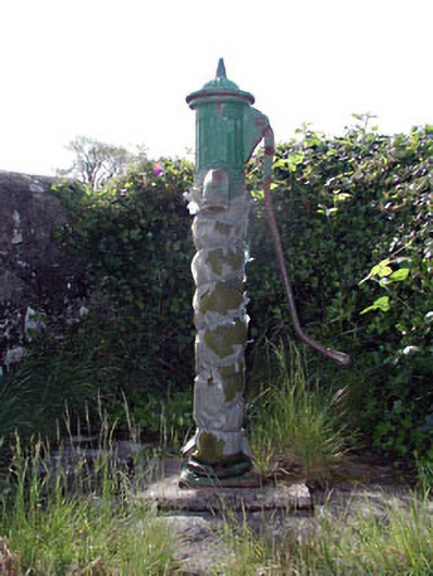 water pumpwater pump · 1.2 mi
 Clongill CastleCastle, tower house · 1.3 mi
 Gibbstown House EntranceWood · 1.5 mi
 CrossCross, Wayside cross · 1.6 mi
 Rath AirthirCeremonial enclosure · 2.1 mi
 Sheridan's WoodWood · 2.1 mi
 Mullagha HillMountain / peak · 3.0 mi
 Nangle CourtMemorial · 3.8 mi
 Donaghmore Round TowerHeritage attraction · 4.1 mi
 Drakerath CastleCastle, unclassified · 4.2 mi
 Simpson's MountainMountain / peak · 4.5 mi
Other information
Photo: Credit not shown in the picture search · Rights wording not checked; contact us if this picture should be removed