What is recorded here
Near the top of a S-facing slope in wet pasture, with a sea cliff c. 100m to the NW. Clearly visible in satellite imagery (Digital Globe 2011-2013), and overlain by later field boundary walls. This field system (c. 190m E-W; 110m E-W) comprises a series of low grass-covered earthen banks, orientated E-W and N-S and abutting the E and S sides of an enclosure (CL014-009----) with which the field system is possibly associated. A nearby rath (CL014-008---) stands c. 12m to the SW of the field system.
Compiled by: Gearóid Conroy and Conn Herriott
Date of upload: 7-10-2025
The monument record does not grant public access. Check the route and ask the landowner before entering private land.
- What survives
- Recorded monument
Places near here
 Promontory fortPromontory fort, coastal · 670 yd
 Kilconnell Children's Burial GroundArchaeological place · 1325 yd
 Sightseeing Cliffs of Moher SouthViewpoint · 1439 yd
 Moher TowerRuins · 1552 yd
 CastleCastle, unclassified · 1.2 mi
 Cliffs of MoherCliff · 2.0 mi
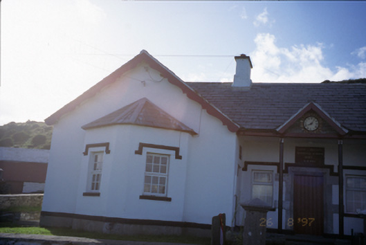 Saint Bridget's National Schoolschool · 2.0 mi
 Bridget's Well;St Bridget's WellSpring · 2.3 mi
 Sea StackMountain / peak · 3.0 mi
 Cliffs of Moher Visitor CentreVisitor information · 3.1 mi
 John P. Holland CentreMuseum · 3.1 mi
 Liscannor Castle (in Ruins)Castle, tower house · 3.1 mi