What is recorded here
Visible on Google Earth aerial imagery (16-1-2011) in level pasture c. 25m W of the SW-flowing Ballysteen River. A circular area (est. diam. c. 30m) is defined by traces of a broad (est. Wth. c. 3-5m) low bank, most visible from NE-SE-SW.
Compiled by: Gearóid Conroy based on information supplied by Conn Herriott.
Date of upload: 7-10-2025
The monument record does not grant public access. Check the route and ask the landowner before entering private land.
- What survives
- Recorded monument
Places near here
 CastleCastle, unclassified · 937 yd
 IndicatedFairy fort / earthen ringfort · 996 yd
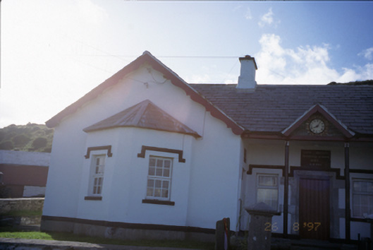 Saint Bridget's National Schoolschool · 1106 yd
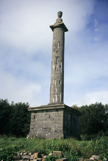 O'Brien's Monumentmonument · 1469 yd
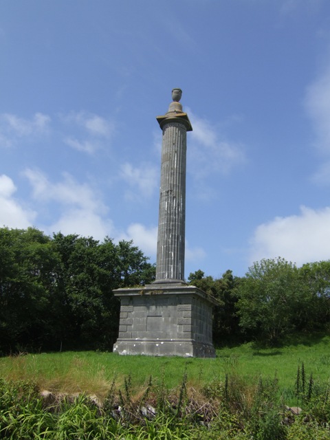 O’Briens MonumentMonument · 1475 yd
 Bridget's Well;St Bridget's WellSpring · 1518 yd
 John P. Holland CentreMuseum · 1.5 mi
 Liscannor Castle (in Ruins)Castle, tower house · 1.5 mi
 Sightseeing Cliffs of Moher SouthViewpoint · 1.7 mi
 Cliffs of MoherCliff · 1.7 mi
 Cliffs of Moher Visitor CentreVisitor information · 2.2 mi
 Sea StackMountain / peak · 2.3 mi