
What is recorded here
Castle, unclassified in Shingaunagh South, stands on the easternmost of three sea stacks, its masonry still visible where a peninsula may have joined the mainland in the 15th century. The O’Connors of Corcomroe may have built it, while the name Pouladooneen points to a cave and a little fort, perhaps hidden inside the western stack’s blowhole. Maps and annals kept the castle alive long after the sea took the land, leaving behind a tower that still defies the water.
On the easternmost of three sea stacks, in an area known locally as Pouladooneen. Marked as a castle on an island on Henry Pelham’s map (1787), and named ‘Ballyheragh castle’ in an early 19th century list (Dutton 1808). The OS Letters of 1839 (Comber 1997, 95) noted that the site of an old castle at ‘Polladonneen’ was recorded in the Annals of the Four Masters (1632-6). According to Breen and Ua Cróinín (1997, 5) vestiges of masonry survived on top of a sea stack, which may have been part of a peninsula connected to the mainland in the 15th century when the tower house was built. They also suggest that it may have been tower house of the O’Connors of Corcomroe, and that the reference to a cave in the name Pouladooneen (‘Cave of the Little Fort’) might be traced to an ‘impressive’ blowhole in the centre of the western stack (ibid.).
Compiled by: Gearóid Conroy and Conn Herriott
Date of upload: 6-10-2025
Built or held identity not clearly recorded; likely of early medieval origin. Marked on 18th-century maps, it is remembered as an example of a coastal defensive structure in a remote and historically strategic part of the landscape.
The monument record does not grant public access. Check the route and ask the landowner before entering private land.
- What survives
- Recorded monument
Places near here
 IndicatedFairy fort / earthen ringfort · 379 yd
 Kilconnell Children's Burial GroundArchaeological place · 820 yd
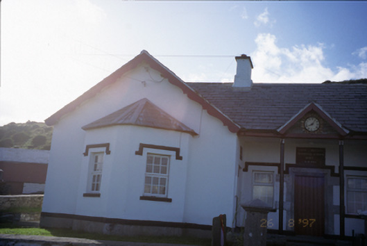 Saint Bridget's National Schoolschool · 1.1 mi
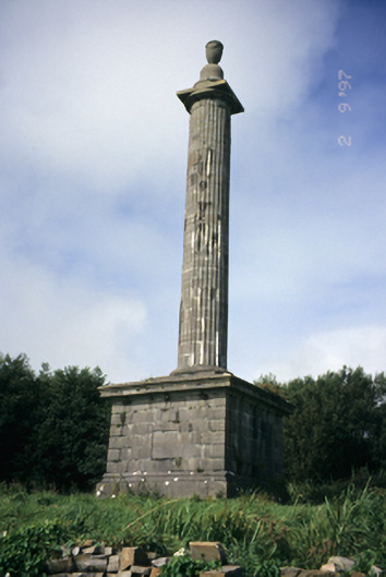 O'Brien's Monumentmonument · 1.3 mi
 Bridget's Well;St Bridget's WellSpring · 1.3 mi
 Sightseeing Cliffs of Moher SouthViewpoint · 1.3 mi
 Cliffs of MoherCliff · 1.8 mi
 John P. Holland CentreMuseum · 1.9 mi
 Liscannor Castle (in Ruins)Castle, tower house · 2.0 mi
 Liscannor BayBay · 2.4 mi
 Cliffs of Moher Visitor CentreVisitor information · 2.5 mi
 Sea StackMountain / peak · 2.6 mi
Other information
Photo: Credit not shown in the picture search · Rights wording not checked; contact us if this picture should be removed