What is recorded here
On a gentle E-facing slope in marshy pasture, c. 35m to the E of The Cliffs of Moher and overlooked by higher ground to the N and NE. Discovered by Markus Casey in 1998. A nearly square-shaped enclosure (L 19.5m NW-SE; Wth 16.5m NE-SW) is defined by a low, round-topped earthen bank (av. Wth 1.9m; H 0.25m) which is least well-preserved on the NE and SE sides. Outside the bank on the SW side is a shallow fosse (Wth 1m; max. D 0.2m). The interior slopes gently and evenly to the SE. A possible hut site (CL014-033001-) lies just outside the NE corner.
Compiled by: Gearóid Conroy and Conn Herriott
Date of upload: 7-10-2025
The monument record does not grant public access. Check the route and ask the landowner before entering private land.
- What survives
- Recorded monument
Places near here
 Sightseeing Cliffs of Moher SouthViewpoint · 848 yd
 Site of Moher FortPromontory fort, coastal · 930 yd
 Moher TowerRuins · 934 yd
 Promontory fortPromontory fort, coastal · 1501 yd
 CastleCastle, unclassified · 1.4 mi
 Cliffs of MoherCliff · 1.8 mi
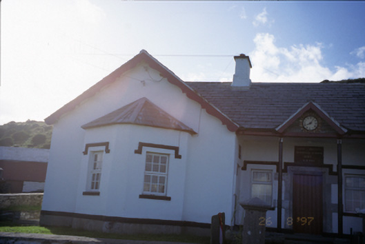 Saint Bridget's National Schoolschool · 2.1 mi
 Bridget's Well;St Bridget's WellSpring · 2.3 mi
 Sea StackMountain / peak · 2.8 mi
 Cliffs of Moher Visitor CentreVisitor information · 2.9 mi
 John P. Holland CentreMuseum · 3.3 mi
 Liscannor Castle (in Ruins)Castle, tower house · 3.4 mi