
What is recorded here
From the National Monuments Service (Archaeological Survey of Ireland) record CL014-009
Places near here
Photo credits
- Maker not stated on source page, en.m.wikipedia.org
- Colin Park, Geograph · CC BY-SA 2.0
- Age Bosma, Wikimedia Commons · CC BY-SA 4.0
- Kmcnamee, Wikimedia Commons · CC BY-SA 4.0
- Maker not stated on source page, commons.wikimedia.org
- Berthold Werner, Wikimedia Commons · CC BY-SA 4.0
- National Inventory of Architectural Heritage
- Maker not stated on source page, hu.pinterest.com
- John M, Geograph · CC BY-SA 2.0
- Roger Diel, Geograph · CC BY-SA 2.0
- WikiDon at English Wikipedia, Wikimedia Commons · CC BY-SA 3.0
- Maker not stated on source page, www.nationalgeographic.com
 Enclosure in BallyherraghEnclosure · 790 yd
Explorer Tom An enclosure right next to the Cliffs of Moher, probably there just to make the cliffs feel less lonely. The local…
 Sightseeing Cliffs of Moher SouthViewpoint · 1359 yd
Explorer Tom Sightseeing Cliffs of Moher North is absolutely showing off when nobody's looking, leaning over the edge just to see if…
 Moher TowerRuins · 1472 yd
Explorer Tom Moher Tower stands at Hag's Head with the Atlantic at its feet and a name older than its own stones. Around 1808…
 Liscannor GAA pitchGAA ground · 1670 yd
 Enclosure in Unknown TownlandEnclosure · 1.7 mi
Explorer Tom This Clare enclosure gave up its stone walls for Lent and hasn't recovered since. It sits by the river looking like a…
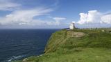 Cliffs of MoherCliff · 2.0 mi
Explorer Tom Come on, you did not think Moher was named after a gift shop, did you? Mothar fort stood at Hag's Head until 1808, when…
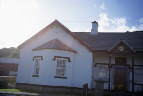 Saint Bridget's National SchoolSchool · 2.0 mi
Explorer Tom Saint Bridget's National School is now a pair of houses, so the children have been replaced by adults who argue about…
 Bridget's WellVisitor attraction · 2.2 mi
Explorer Tom Bridget's Well has a rivalry with a much fancier spring down the road that gets all the attention. It’s just sitting…
 Bridget's Well;St Bridget's WellSpring · 2.2 mi
Explorer Tom Bridget's Well, St Bridget's Well keeps getting picked on by the wind because it stands right in the open with nowhere…
 Liscannor Castle (in Ruins)Castle, tower house · 3.1 mi
Explorer Tom Liscannor Castle has a secret it’d spill after three pints, likely about which neighbour stole its flag in the 14th…
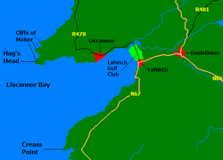 Liscannor BayBay · 3.2 mi
Explorer Tom Liscannor Bay is a great big Atlantic grin on County Clare's coast, with Liscannor village on one side and the sand at…
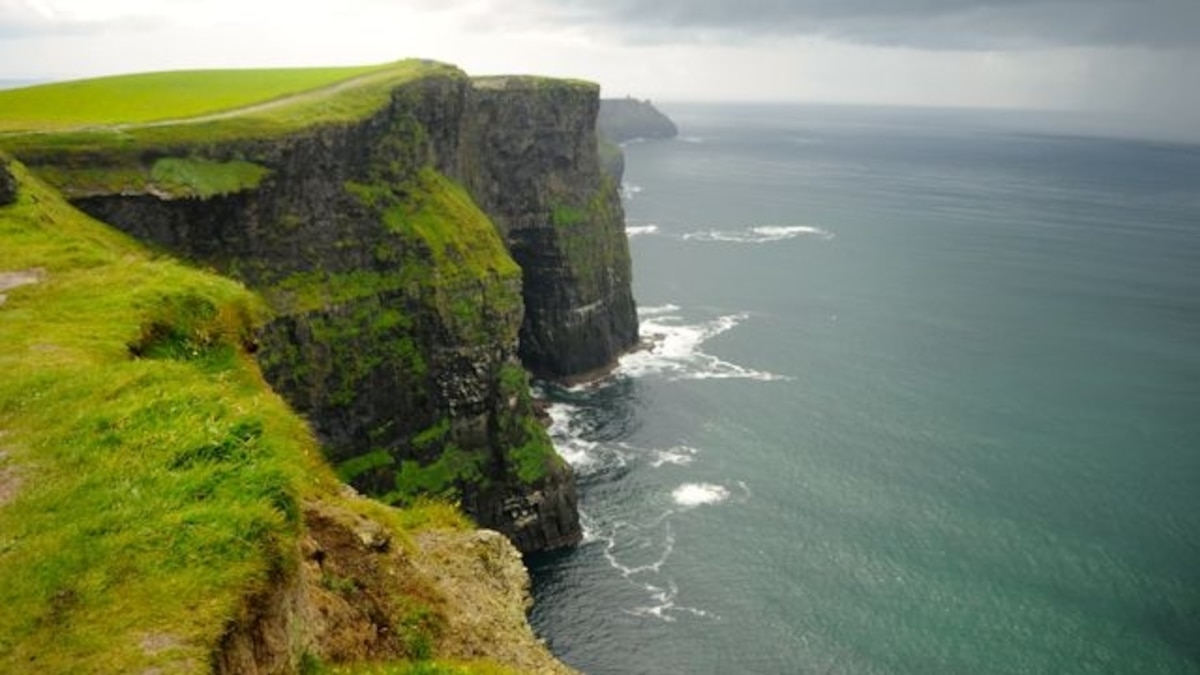 Green IslandIslet · 3.8 mi
Explorer Tom Green Island in County Clare is secretly friends with a famous rock band who use it as their secret rehearsal space…
More archaeology and monuments in County Clare · All of County Clare

What do you know about this place?Tap to add a comment or ask a question