
What is recorded here
Regular pattern of rectilinear cropmarks, some perpendicular to each other, covering area of c. 4ha, visible in aerial photographs (CASAP, July 1989). Cropmarks indicate traces of possibly two distinct overlapping field systems on different axes from present system. Circular enclosures (CO016-27701-; CO016-27702---) and possible ringfort (CO016-114---) within field system.
The above description is derived from the published 'Archaeological Inventory of County Cork. Volume 4: North Cork' (Dublin: Stationery Office, 2000). In certain instances the entries have been revised and updated in the light of recent research.
Date of upload/revision: 14 January 2009
The monument record does not grant public access. Check the route and ask the landowner before entering private land.
- What survives
- Recorded monument
Places near here
 Mount Corbittcountry house · 846 yd
 Enclosure in Gurteenroe (orrery and Kilmore By.)Enclosure · 1001 yd
 Quarry in EgmontQuarry · 1494 yd
 Man-made underground passage (Site of)Man-made underground passage · 1617 yd
 Churchtown TrailsVisitor information · 1643 yd
 CarrigadoonCastle, unclassified · 1.1 mi
 Lady's WellSpring · 1.5 mi
 Lisgriffin CastleCastle · 1.6 mi
 Battle of LiscarrollMajor battlefield · 2.3 mi
 Ballyhoura WayWalking route · 2.6 mi
 Buttevant Rail DisasterMemorial · 3.0 mi
 David HurleyMemorial · 3.6 mi
Other information
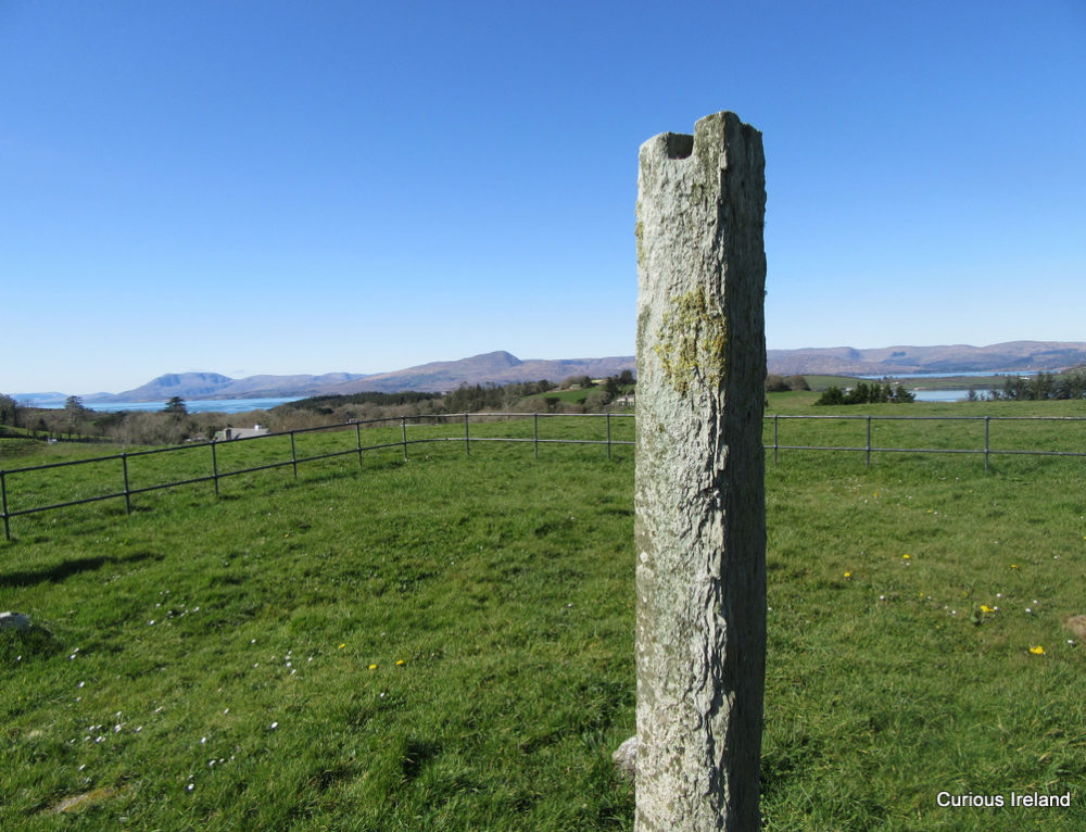
Photo: Credit not shown in the picture search · Rights wording not checked; contact us if this picture should be removed