What is recorded here
An archaeological assessment (Licence no. 02E1452) of a proposed development site at the rear of No. 8 Main Street, Maynooth revealed the presence of a ditch running N-S. A short length (L c. 30m) was subsequently excavated (Licence no. 02E1452 ext.) and proved to be of medieval date, having 13th-14th-century pottery in its base. It remained open until the site was developed in the mid-18th century. It measured up to 2.6m in width and 1.1m in depth. The remains of an 18th and 19th century stone-lined drain, a well and cistern overlay the ditch. It seems likely that the ditch was simply a field boundary, but it forms part of the line of a putative large enclosure surrounding the earlier part of the town. (www.excavations.ie)
Compiled by: Gearóid Conroy
Date of upload: 10 June 2011
The monument record does not grant public access. Check the route and ask the landowner before entering private land.
- What survives
- Recorded monument
Places near here
 Maynooth Libraryhouse · 46 yd
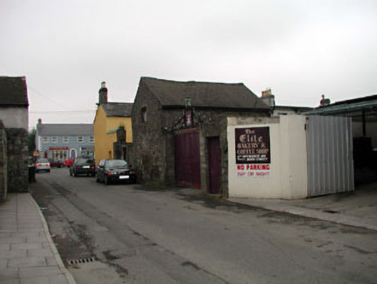 outbuildingoutbuilding · 54 yd
 Memorial to 1916 Volunteers from MaynoothMemorial · 87 yd
 The Tree of Liberty 1798-1998Memorial · 118 yd
 Common LimeCommon Lime · 132 yd
 Maynooth CastleHeritage attraction · 341 yd
 CastleCastle, Anglo-Norman masonry castle · 377 yd
 European YewEuropean Yew · 424 yd
 The Sun ClockHeritage attraction · 445 yd
 Enclosure in MaynoothEnclosure · 1013 yd
 IndicatedHoly well · 1255 yd
 Moygaddy CastleCastle, tower house · 1670 yd