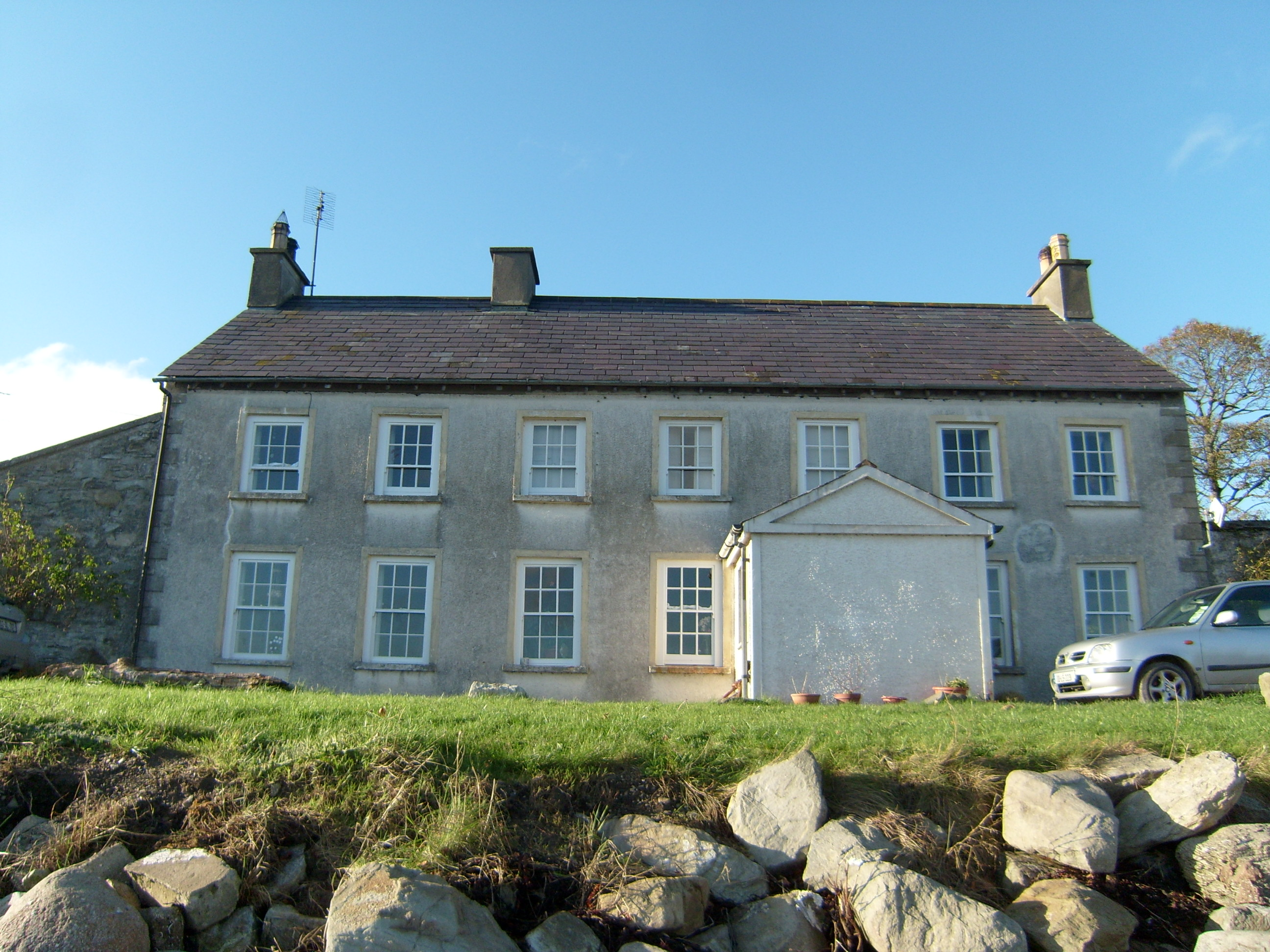
What is recorded here
Detached seven-bay two-storey former ferry house, built c.1780, having later projecting gabled porch to front, lean-to addition to rear, and single-storey extension to rear. Now in use as private dwelling. Pitched purple slate roof with exposed rafter ends, cast-iron rainwater goods and three rendered chimneystacks…
Read the whole record
From the Buildings of Ireland (National Inventory of Architectural Heritage) record 40904602
Places near here
Photo credits
- National Inventory of Architectural Heritage
- Maker not stated on source page, commons.wikimedia.org
- Andreas F. Borchert, Wikimedia Commons · CC BY-SA 4.0
- Maker not stated on source page, www.britainexpress.com
- Joe Boland / North West News Pix, via Donegal Daily, www.donegaldaily.com
- Maker not stated on source page, br.pinterest.com
- Malene Thyssen, Wikimedia Commons · CC BY-SA 3.0
- Eeno11, Wikimedia Commons · CC BY-SA 3.0
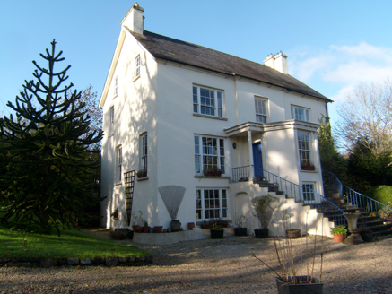 ShellfieldHouse · 439 yd
Explorer Tom Shellfield has a porch with grooved columns standing guard on either side. Built around 1750 and renovated around 1810…
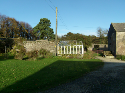 Fort StewartWalled garden · 543 yd
Explorer Tom Fort Stewart’s walled garden, built c.1780, is currently hosting a very aggressive botanical takeover behind those…
 pier/jetty1088 yd
Explorer Tom Pier or jetty in Ballybegly had a ferry schedule from 1900 that only worked 'weather and tide permitting'. I bet the…
 Standing stone in FortstewartStanding stone · 1588 yd
Explorer Tom Standing stone in Fortstewart has completely vanished from the maps! The record says there’s no trace left at all…
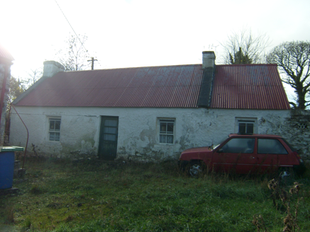 farmyard complex1.1 mi
Explorer Tom Farmyard complex in Gortaway includes a house built around 1840 with surviving sash windows and a lofted outbuilding…
 Killydonnell FriaryReligious house, Franciscan Third Order Regular · 1.2 mi
Explorer Tom Killydonnell Friary was founded in 1471 by Calvagh O'Donnell, yet the Stewart family later turned its sacristy into a…
 Killydonnell Friary GraveyardGraveyard · 1.2 mi
Explorer Tom Killydonnell Friary Graveyard shares the map with ruins of a friary founded in 1471 for the Franciscan Third Order. The…
 Standing stone in CarrowcashelStanding stone · 1.3 mi
Explorer Tom Standing stone in Carrowcashel sat on level arable land close to the shore of Lough Swilly, but now there is no trace…
 Páirc Cholm Cille, Naomh Colmcille GAA, NewtowncunninghamGAA ground · 2.8 mi
 Mapped graveyardGraveyard · 2.9 mi
Explorer Tom This mapped graveyard had a fox take charge for a whole week before anyone noticed, and now the locals treat him like…
 European Beech3.1 mi
Explorer Tom European Beech in County Donegal would complain to the council about the lack of shade during peak afternoon hours and…
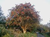 Rowan3.4 mi
Explorer Tom Rowan is in the middle of a fierce feud with the oak next door over who has the better view of the sunset. They’ve been…
More historic places in County Donegal · All of County Donegal

What do you know about this place?Tap to add a comment or ask a question