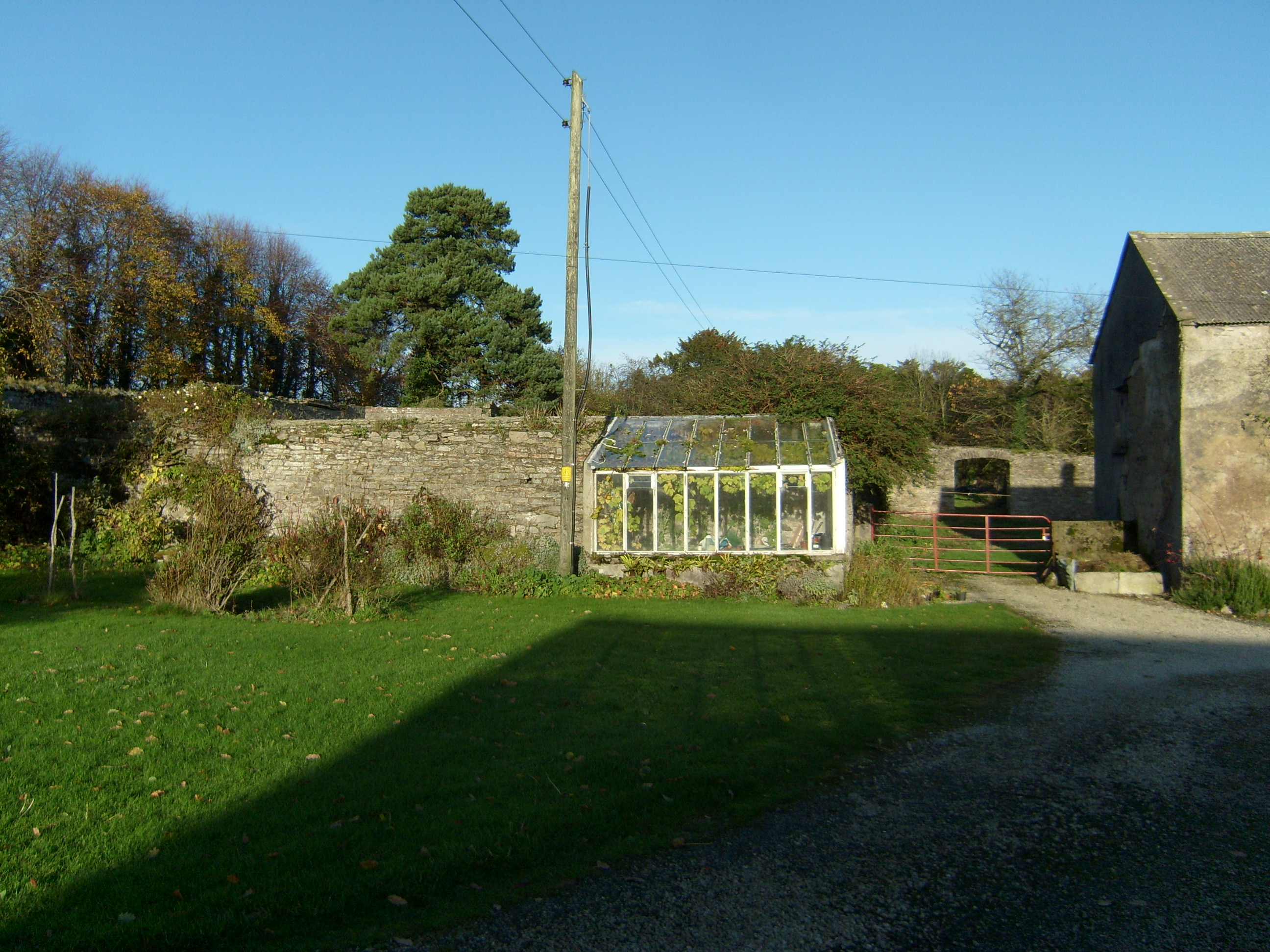
What is recorded here
Former walled garden, built c.1780, on rectilinear plan. Now disused. Rubble stone boundary walls enclosing overgrown garden with series of segmental-arch openings in southwest stretch to rear of Fort Stewart House. Section of road elevation missing.
An extensive walled garden that forms part of a group of structures associated with Fort Stewart. It indicates the resources needed to run and maintain a country house in the eighteenth and nineteenth centuries. The original layout is still evident and many openings survive.
This does not grant access. Most recorded buildings are privately owned; view them only from public ground unless the owner allows entry.
Places near here
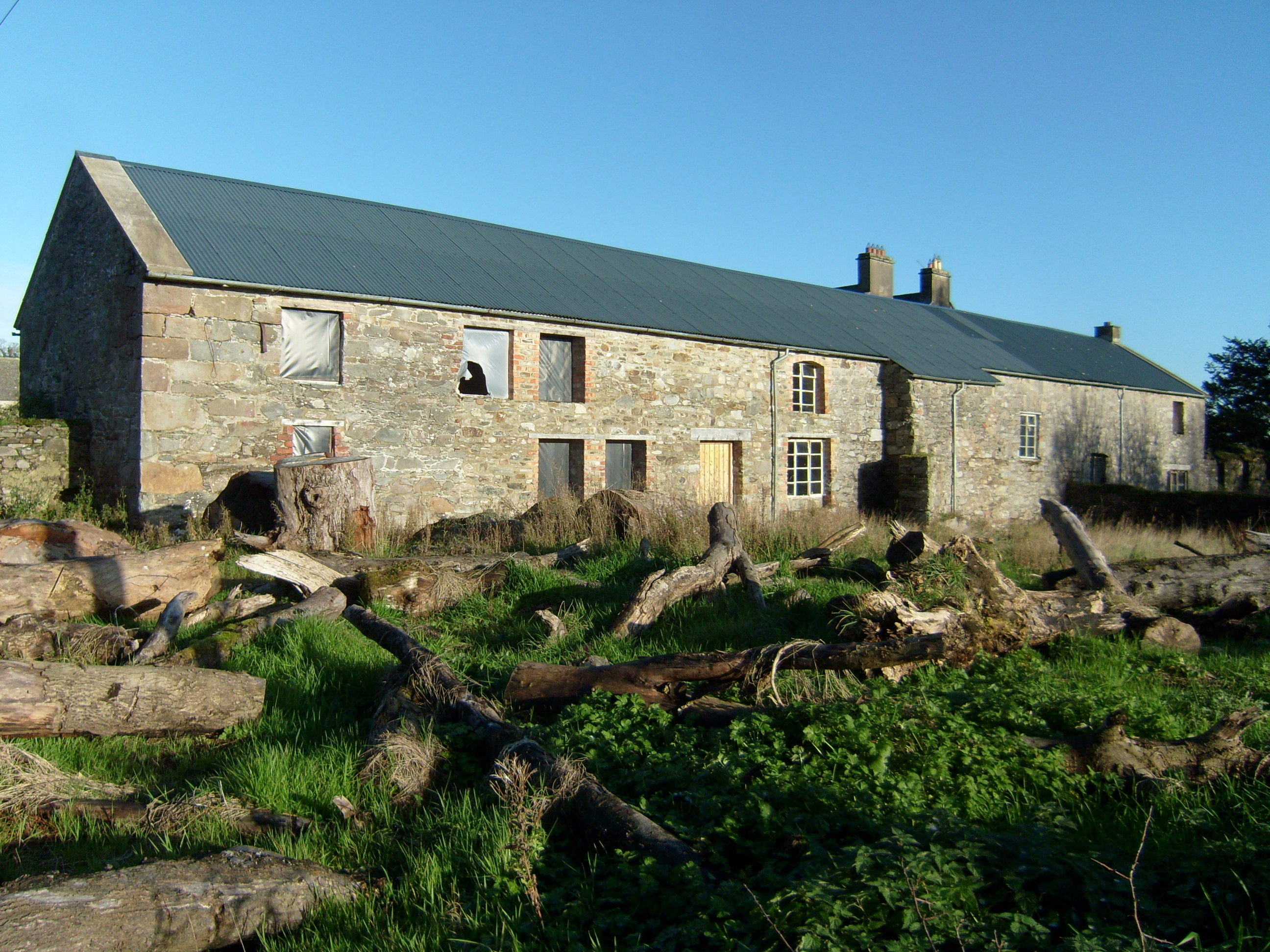 Fort Stewartfarmyard complex · 136 yd
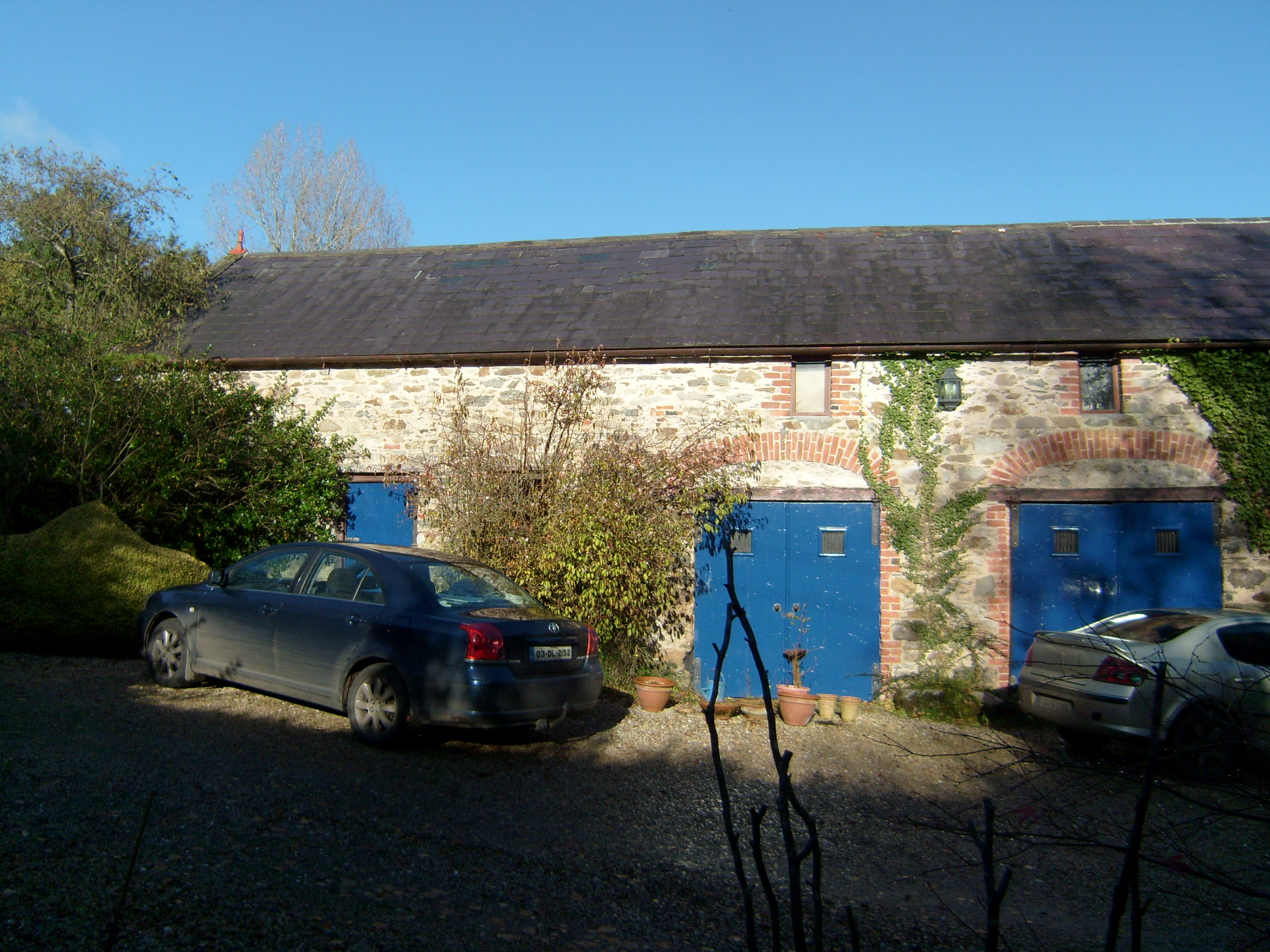 Shellfieldfarmyard complex · 291 yd
 Almost-Levelled Killydonnell Fairy FortFairy fort / earthen ringfort · 765 yd
 Fort Stewart in RuinsBawn · 1681 yd
 Carnhill Stone Ringfort near the Ruined ChurchFairy fort / stone ringfort · 1.1 mi
 Tullyaughnish Old Church GraveyardGraveyard · 2.4 mi
 Bawn in RathmeltonBawn · 2.5 mi
 European BeechEuropean Beech · 2.8 mi
 Drummonaghan WoodForest recreation place · 3.1 mi
 Mullanadee ShoreBeach / strand · 3.9 mi
 King's GraveArchaeological place · 4.6 mi
 InchIsland · 4.9 mi
Other information
Photo: National Inventory of Architectural Heritage · Website use allowed for educational or private purposes with source credit