
What is recorded here
The 'fort' marked on the OS 6-inch maps is now almost levelled. It can be traced on the W as a curving field boundary and on the E by a short stretch of a sloping edged drop .5m to 1m high. It is shown on the maps as an oval area c. 40m E-W and c. 30m N-S. It was situated on gently sloping good land.
The above description was derived from the 'Archaeological Survey of County Donegal. A description of the field antiquities of the County from the Mesolithic Period to the 17th century.' Compiled by: Brian Lacey with Eamon Cody, Claire Cotter, Judy Cuppage, Noel Dunne, Vincent Hurley, Celie O'Rahilly, Paul Walsh and Seán Ó Nualláin (Lifford: Donegal County Council, 1983). In certain instances the entries have been revised and updated.
Date of upload: 22 September 2008
The monument record does not grant public access. Check the route and ask the landowner before entering private land.
- What survives
- Recorded monument
Places near here
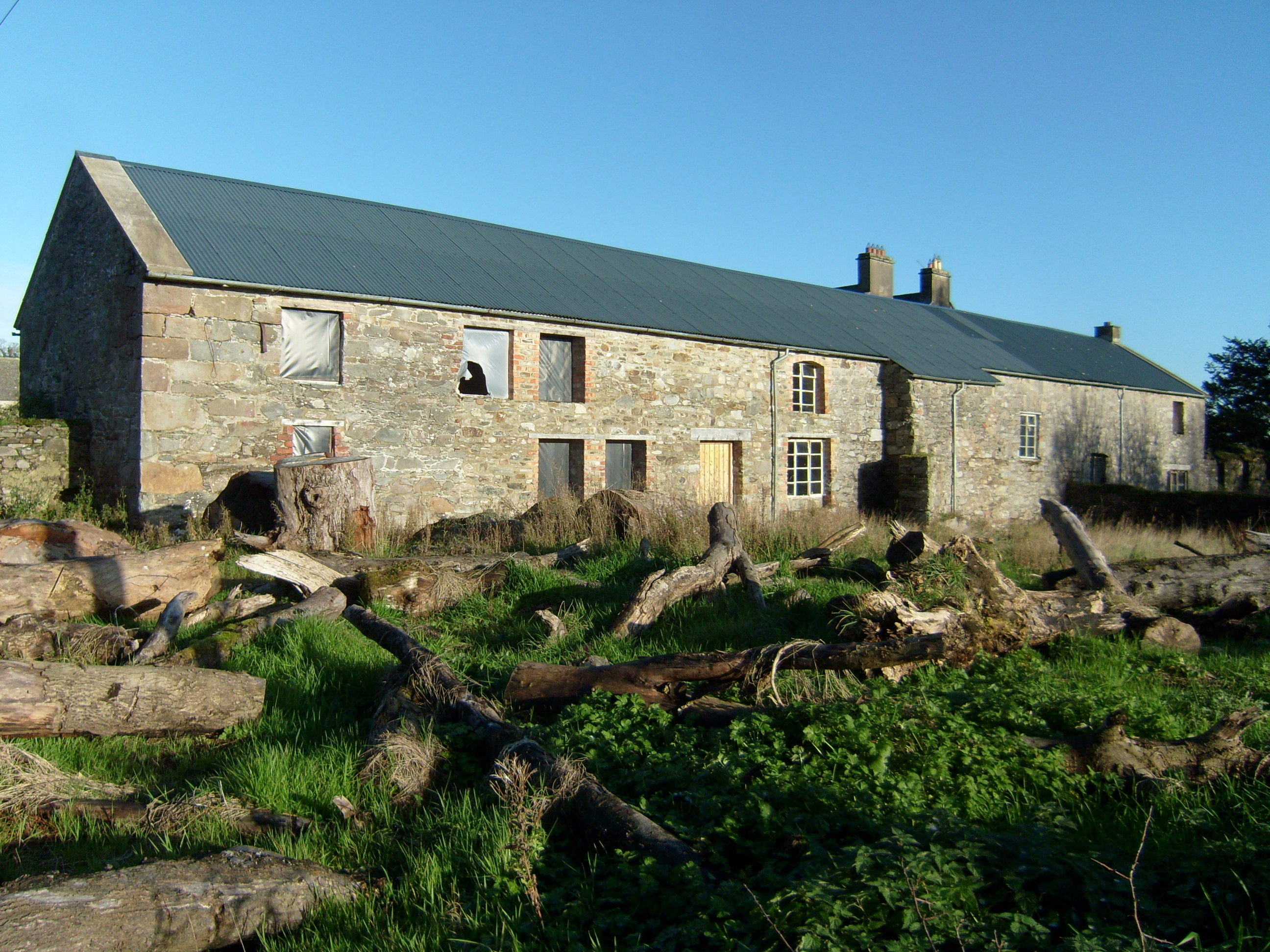 Fort Stewartfarmyard complex · 673 yd
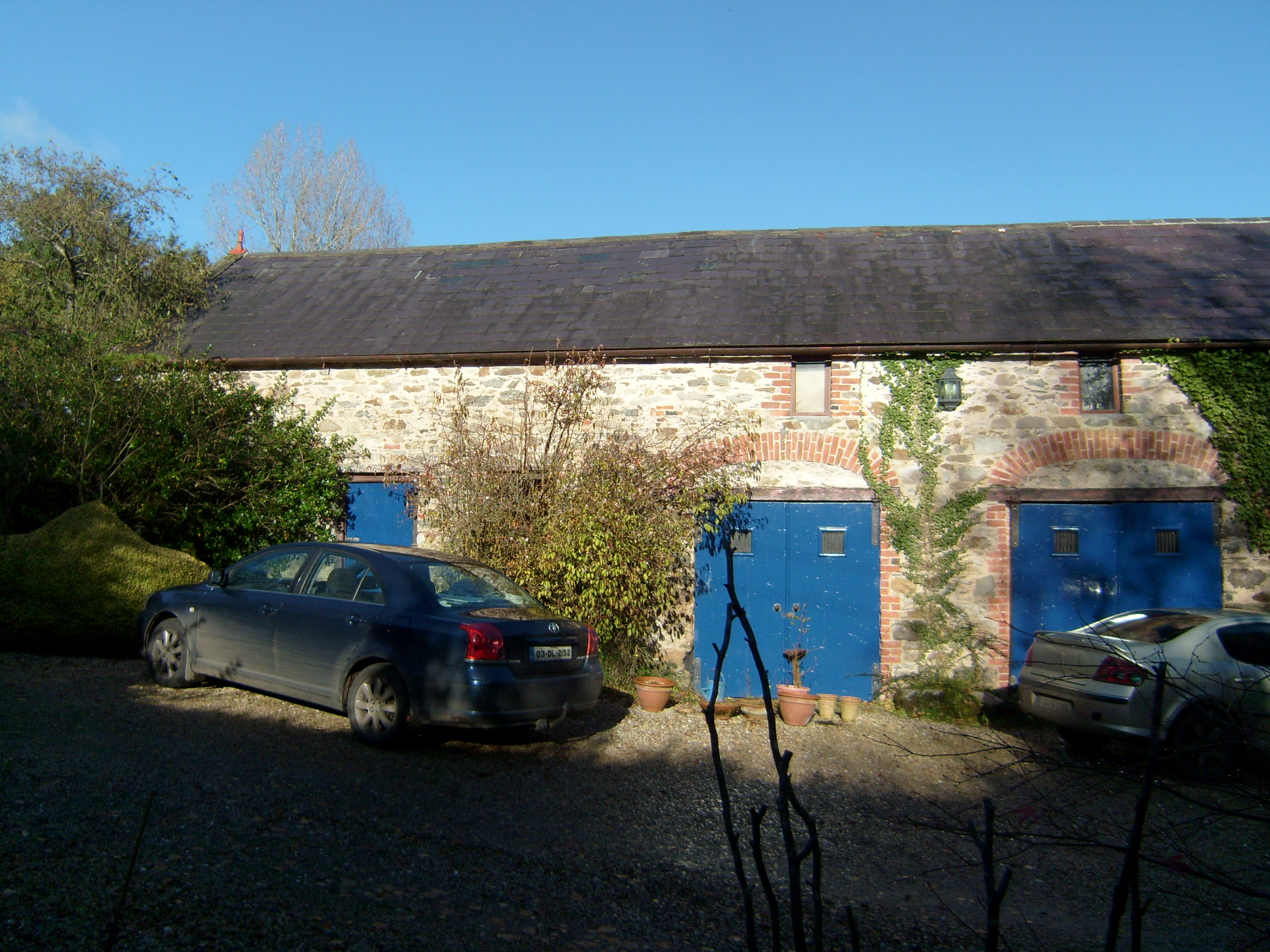 Shellfieldfarmyard complex · 986 yd
 Carnhill Stone Ringfort near the Ruined ChurchFairy fort / stone ringfort · 1157 yd
 Fort Stewart in RuinsBawn · 1.3 mi
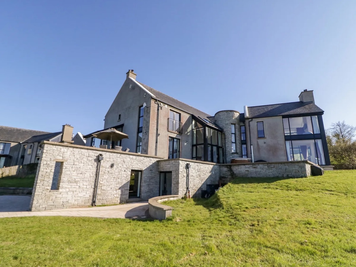 Enclosure in Ballybegly LittleEnclosure · 1.6 mi
 Tullyaughnish Old Church GraveyardGraveyard · 2.1 mi
 Bawn in RathmeltonBawn · 2.1 mi
 European BeechEuropean Beech · 2.4 mi
 Drummonaghan WoodForest recreation place · 2.7 mi
 Mullanadee ShoreBeach / strand · 4.2 mi
 King's GraveArchaeological place · 4.9 mi
 InchIsland · 5.2 mi
Other information
Photo: Credit not shown in the picture search · Rights wording not checked; contact us if this picture should be removed