
What is recorded here
Fortstewart stands as a lime-and-stone bawn on the shore of Lough Swilly, built by Sir William Stewart in 1611 with two flankers and a room that might have held powder or prisoners. The surviving ivy-covered towers still point gun-loops across the water, preserving the exact defensive shape described four centuries ago. What is gone is easier to imagine than what remains: the thatched house, the guard court, the centinel house and the eastern wall have all surrendered to time, leaving only the bones of a man who believed he could own a thousand acres of Donegal.
Fortstewart: In 1610, Sir William Stewart was granted 1,000 acres and in the following year, is recorded as having built 'a fort or bawn of lime and stone with two flankers. Under one is a room either for a munition house or a prison and upon that a court of guard and above that an open 'feight' and in the outmost part thereof a centinel house'. By 1619, he had built a thatched house (OF046-011001-) within the bawn which was inhabited by a Scotch minister and his family (Hill 1877, 322-3, 522-3; Treadwell 1953-5, 41). It is simply noted in the Civil Survey as 'a fforte and a stone 'house called forte Stewart' (Simmington 1937, 99). The surviving ivy-covered remains confirm the layout as recorded in Carew's description of 1611 and comprise two rubble-built flankers with adjoining fragments of bawn walls. No visible trace survives of the E bawn wall depicted on the 1903 OS 25 inch plan. It is sited on the shore of Lough Swilly. The S flanker, a two-storey circular tower c. 4.5m high has a battered underpinning on the SE from which there is a steep fall, some 4m, to the shore below. Two gun-loops on each floor provided flanking cover for the E and S walls of the bawn. There is a window at first-floor level; its head has fallen away. The opposing holes for three joists survive at first-floor level and the wall is set back above the second storey and provided with a parapet. Access to each floor was through a door in the NW of the tower; both had timber jambs and heads. The N flanker, a salient-angled bastion, is similarly constructed and is c. 5.5m high. The ground floor has two gun-loops covering the N and W bawn walls, and as access to this chamber was only from the floor above, it is probably that which is referred to in the 1611 description as the possible munition house or prison. The loops at first-floor level allowed for both defensive and offensive gunfire and like the S tower, this flanker was provided with a parapet wall. There is evidence for four joists at first-floor level. The small section of adjoining W curtain preserves the chase for a timber jamb and socket for a large draw-bar, for a door or gate.
On 9 March 1998 an archaeological assessment was carried out by Audrey Gahan of Archaeological Development Services Ltd, under licence No. 98E0098 at Fortstewart, Ramelton, Co. Donegal, on the site of a proposed domestic dwelling, in response to planning conditions. The site is close to a National Monument, Fort Stewart Bawn (DG046-011----). Excavation was by mechanical digger using a toothless bucket, along the line of the foundations, septic tank, soak pit and driveway. In all cases the removal of sod and ploughsoil revealed naturally deposited subsoil. Nothing of archaeological significance was uncovered. (Excavations Bulletin 1998)
The proposed development consisted of the extension and refurbishment of a cottage and the construction of a septic tank and ancillary services at Fortstewart, Ramelton. Monitoring of topsoil removal took place on 9 March 2005 by Audrey Gahan of Gahan & Long Ltd under licence No. 05E0226. Two ditches were identified during topsoil removal. The first was found c. 20m south-west of the ruined bastion of Fort Stewart castle. The ditch was only exposed for a distance of 1.88m, the width of the trench. The ditch extended approximately north–south across the trench and was 1.43m wide. It was ceramically dated to the late 18th/19th century. A second ditch was found c. 6m north-west of the first and 22m west of the ruined bastion of Fort Stewart castle. This ditch extended approximately north–south, measured c. 1.08m in width and was exposed in length for only 1.88m. The ditch was roughly V-shaped in section and survived to a depth of 1.04m. Both features were identified as being of late 18th/19th-century date on the basis of the artefactual material contained within their fills. Neither of these ditches, therefore, is likely to have been associated with Fortstewart Bawn.
The above description was derived from the 'Archaeological Survey of County Donegal. A description of the field antiquities of the County from the Mesolithic Period to the 17th century.' Compiled by: Brian Lacey with Eamon Cody, Claire Cotter, Judy Cuppage, Noel Dunne, Vincent Hurley, Celie O'Rahilly, Paul Walsh and Seán Ó Nualláin (Lifford: Donegal County Council, 1983). In certain instances the entries have been revised and updated.
Compiled by Caimin O'Brien
Date of upload/revision: 14 November 2011
Sir William Stewart built Fort Stewart in 1611 as a defensive structure following his land grant in 1610; it is remembered as an example of early 17th-century fortified architecture in the region.
This remains an important historical record, but the official description says the monument is no longer visible or has been destroyed. The monument record does not grant public access. Check the route and ask the landowner before entering private land.
- What survives
- No visible remains or recorded as destroyed
Places near here
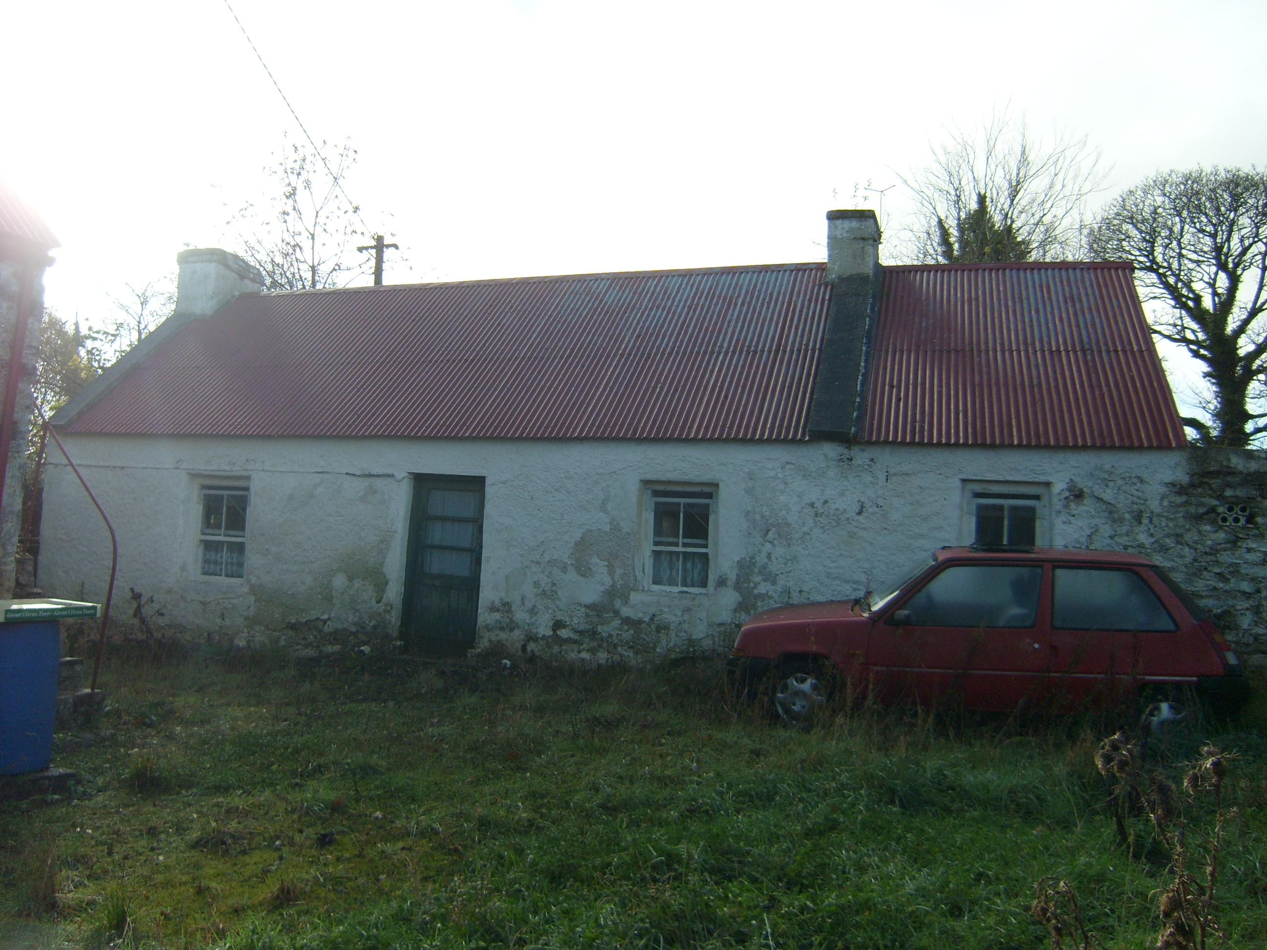 farmyard complexfarmyard complex · 1047 yd
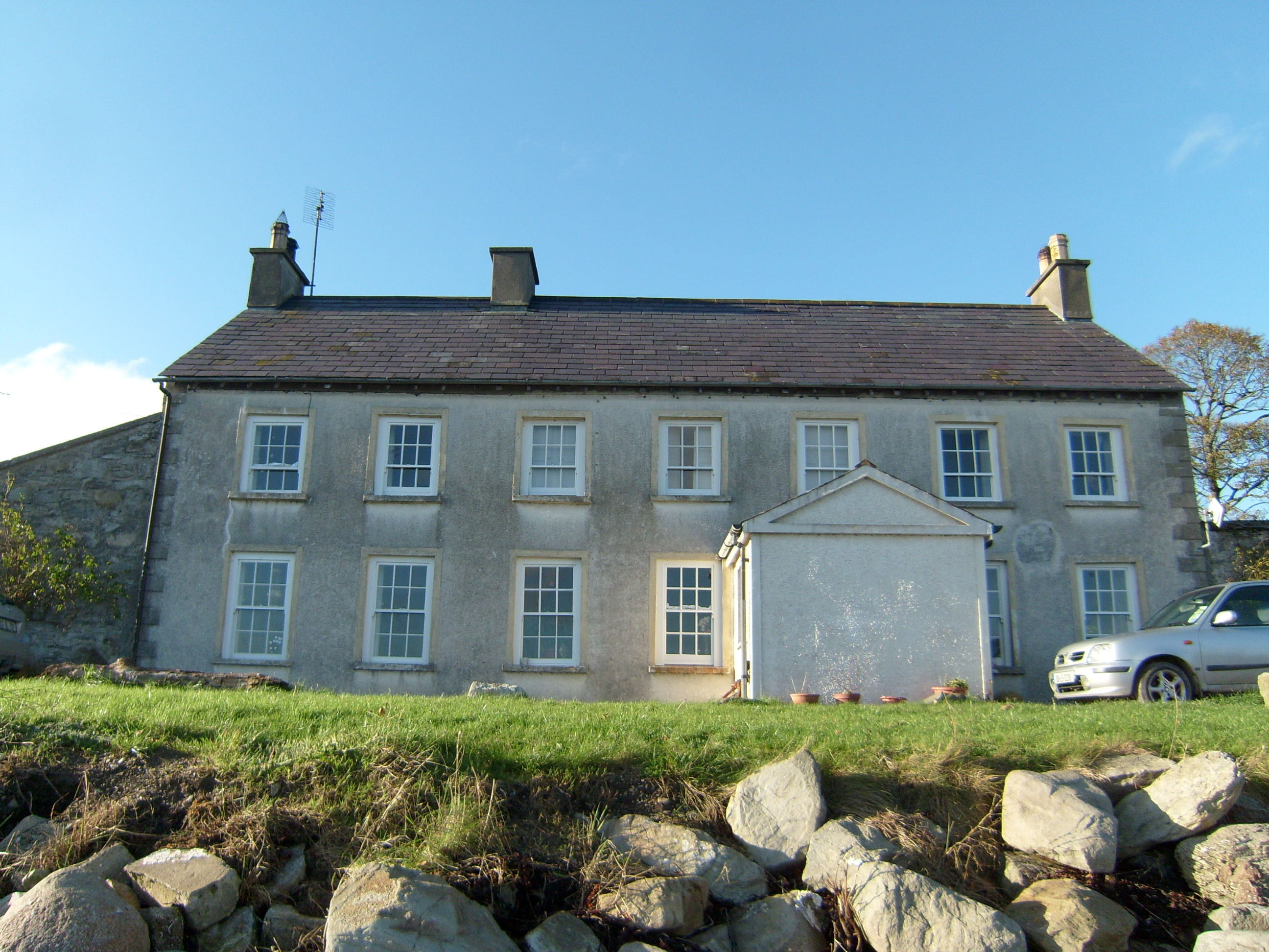 Ferry Househouse · 1373 yd
 Almost-Levelled Killydonnell Fairy FortFairy fort / earthen ringfort · 1.3 mi
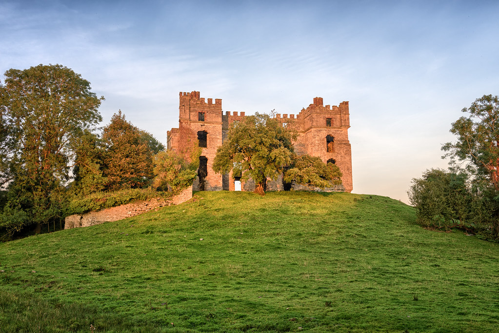 Roughan Glebe Fairy FortFairy fort / earthen ringfort · 1.5 mi
 Burt CastleCastle, tower house · 2.8 mi
 Bawn in RathmeltonBawn · 2.9 mi
 Tullyaughnish Old Church GraveyardGraveyard · 3.0 mi
 Mullanadee ShoreBeach / strand · 3.0 mi
 European BeechEuropean Beech · 3.4 mi
 Drummonaghan WoodForest recreation place · 3.7 mi
 RathmullanOfficial bathing water · 4.9 mi
 Brown’s PointHeadland · 5.0 mi
Other information
Photo: Credit not shown in the picture search · Rights wording not checked; contact us if this picture should be removed