
What is recorded here
Pair of causeways, c.1775, built of un-mortared rubble stone and associated with Fort Stewart Ferry crossing Lough Swilly.
These causeways were associated with the Fort Stewart Ferry which crossed Lough Swilly at one of its narrowest points. The Ordnance Survey notes that the causeways, built in low-lying mud flats, were covered at high water and a timetable published (1st December 1900) by Harry Jocelyn Urquhart Stewart (1871-1945) of Fort Stewart gave weekday and weekend departure times from Fort Stewart and Ballybegly 'weather and tide permitting'.
This does not grant access. Most recorded buildings are privately owned; view them only from public ground unless the owner allows entry.
Places near here
 Enclosure in BallybeglyEnclosure · 834 yd
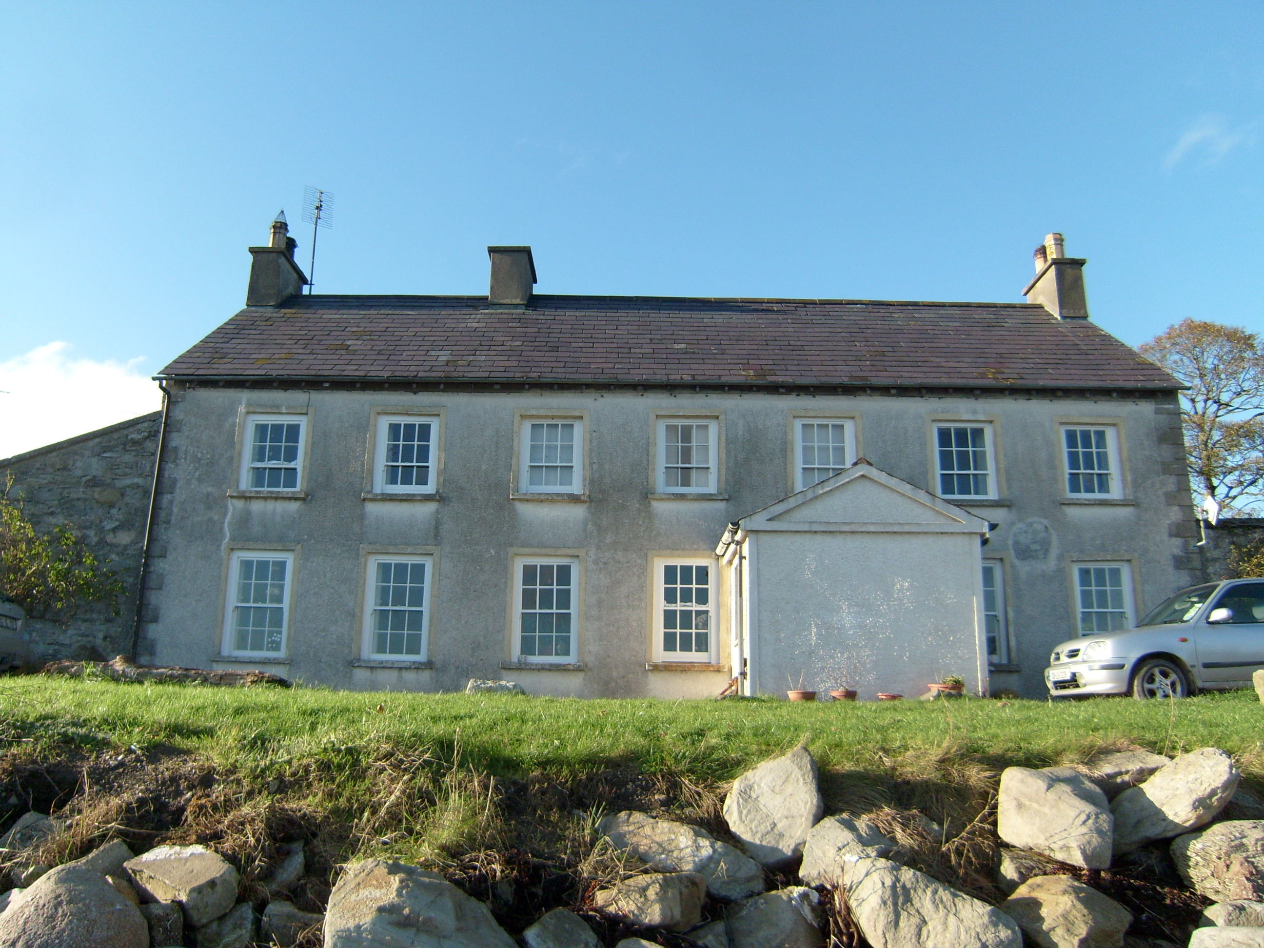 Ferry Househouse · 1088 yd
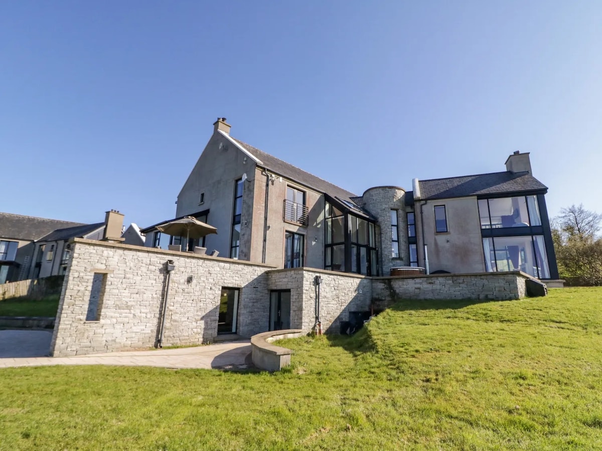 Enclosure in Ballybegly LittleEnclosure · 1186 yd
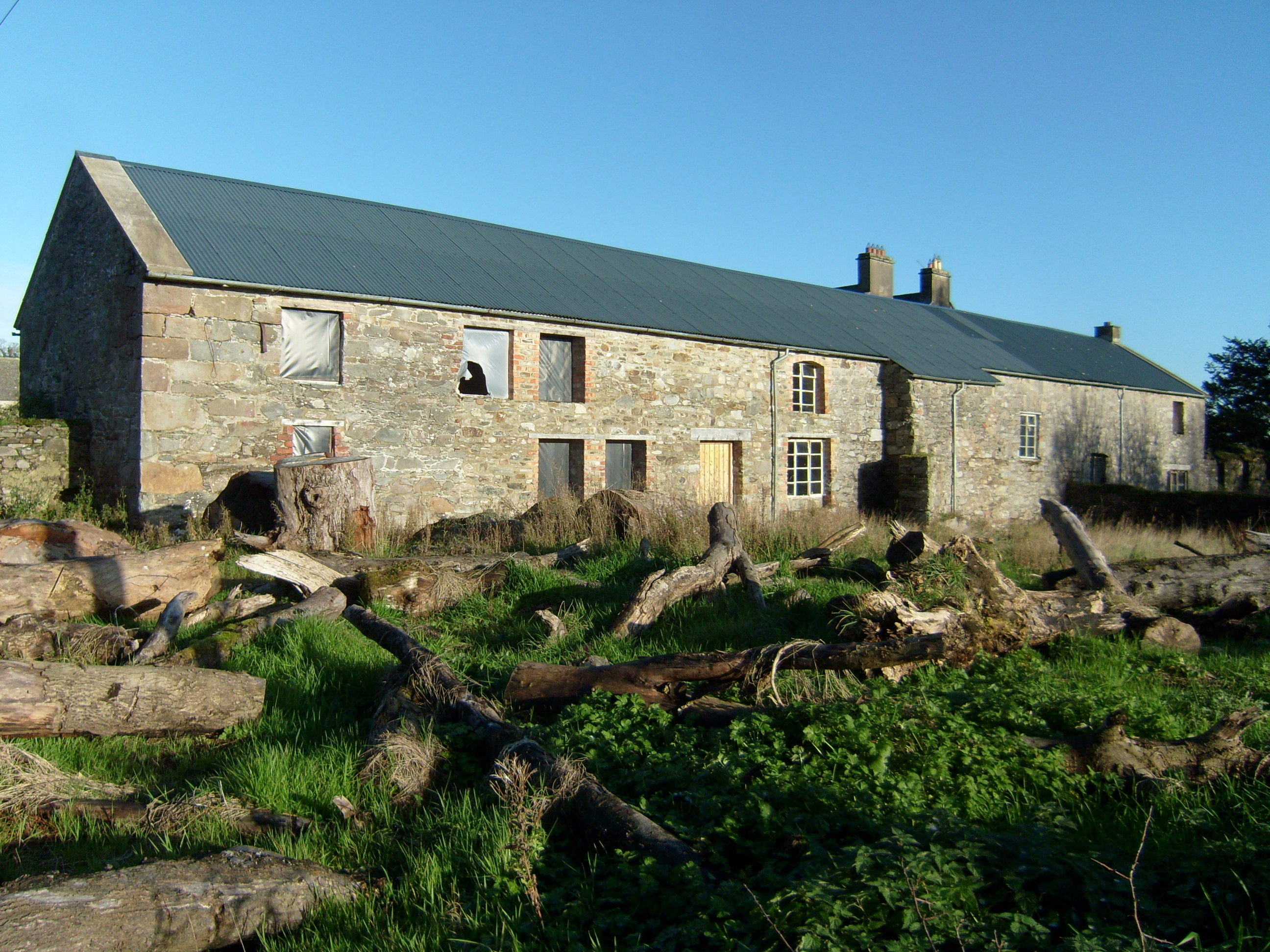 Fort Stewartfarmyard complex · 1550 yd
 Fort Stewart in RuinsBawn · 1.1 mi
 Burt CastleCastle, tower house · 2.8 mi
 Tullyaughnish Old Church GraveyardGraveyard · 3.3 mi
 RowanRowan · 3.4 mi
 European YewEuropean Yew · 3.4 mi
 Mullanadee ShoreBeach / strand · 4.0 mi
 King's GraveArchaeological place · 4.4 mi
 InchIsland · 4.8 mi
Other information
Photo: National Inventory of Architectural Heritage · Website use allowed for educational or private purposes with source credit