What is recorded here
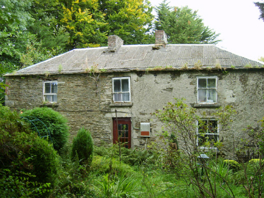
Detached three-bay single-storey farmhouse with half-dormer attic, dated 1836, on a rectangular plan. Now disused. Corrugated-asbestos-covered hipped slate roof with pressed iron ridges, paired red brick Running bond central chimney stacks with capping now missing, and no rainwater goods surviving on slate flagged eaves. Fine roughcast coursed rubble stone battered walls with cut- or hammered granite flush quoins to corners. Square-headed central door opening with concealed lintel framing replacement glazed timber door. Square-headed window openings with lichen-spotted cut-granite sills, and concealed lintels framing two-over-two timber sash windows having part exposed sash boxes. Set in unkempt grounds.
A farmhouse identified as an integral component of the early nineteenth-century vernacular heritage of the outskirts of Hollyfort by such attributes as the compact rectilinear plan form; the feint battered silhouette; and the disproportionate bias of solid to void in the massing compounded by the very slight diminishing in scale of the openings on each floor producing a feint graduated visual impression.
This does not grant access. Most recorded buildings are privately owned; view them only from public ground unless the owner allows entry.
Places near here
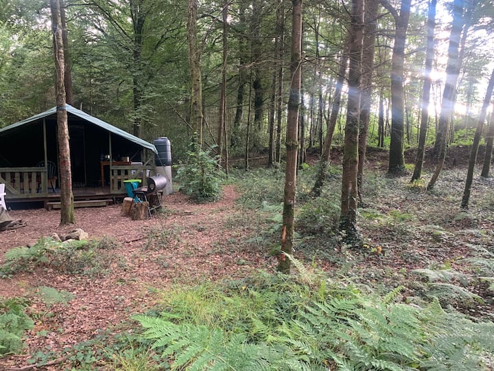 Embanked enclosureFairy fort / ringfort · 407 yd
 Kilbride Grave YardChurch · 847 yd
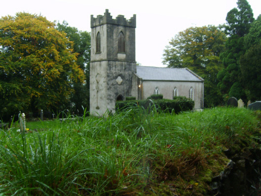 Saint John's Church (Kilnahue)church/chapel · 1243 yd
 Mountnebo WoodForest · 1485 yd
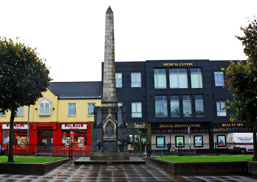 IndicatedFairy fort / earthen ringfort · 1584 yd
 Kilmichael HillMountain / peak · 1694 yd
 Craan HillMountain / peak · 1.5 mi
 Ballingarry WoodForest · 2.0 mi
 CastleCastle, motte · 3.1 mi
 Saint Brigid's WellSpring · 4.0 mi
 1798 MemorialMemorial · 4.0 mi
 1798 MonumentMemorial · 4.4 mi
Other information
Photo: National Inventory of Architectural Heritage · Website use allowed for educational or private purposes with source credit