What is recorded here
Castle, unclassified in Pallishill,pallis Lower,pallis Upper: a castle lost in County Wexford, Ireland. Thomas Esmonde held it and hundreds of acres when the survey came. The stones may still lie under grass, hidden from the road and memory.
A ruined castle at Pallis was owned by Sir Thomas Esmonde in 1640 according to the Civil Survey (1654-56), together with 500 acres in the townlands of Tomcoyle, Tinabaun and Tomtone (Tomathone), 115 acres at Aghcullen (Aughullen), and 500 acres at Pallis, in Killnenor parish. The precise location of the castle is not known. (Simington 1953, 10, 30)
Compiled by: Michael Moore
Date of upload: 1 February, 2012
Sir Thomas Esmonde held a ruined castle at Pallis in 1640, as recorded in the Civil Survey (1654-56), and it is remembered for its association with his extensive landholdings in the surrounding townlands.
The monument record does not grant public access. Check the route and ask the landowner before entering private land.
- What survives
- Recorded monument
Places near here
 CastleCastle, motte · 1185 yd
 Embanked enclosureFairy fort / stone ringfort · 1.3 mi
 graveyard/cemeterygraveyard/cemetery · 1.5 mi
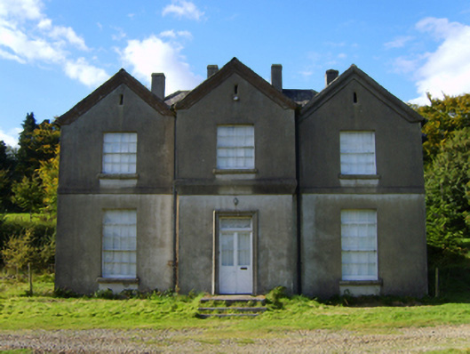 rectory/glebe/vicarage/curate's houserectory/glebe/vicarage/curate's house · 1.6 mi
 Monalee HillMountain / peak · 1.6 mi
 Ballythomas HillMountain / peak · 1.7 mi
 Settlement cluster in LimerickSettlement cluster · 1.9 mi
 Persian WalnutPersian Walnut · 1.9 mi
 White Heaps 1798Memorial · 2.6 mi
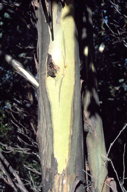 Johnston's gumJohnston's gum · 2.7 mi
 1798 MemorialMemorial · 3.3 mi
 (Site of) Raymond CastleCastle, unclassified · 4.9 mi