What is recorded here
Situated on a low rise, 180m W of the River Deel, in undulating pasture with extensive views in all directions. Ringfort (WM021-010----) lies c. 90m to N. Not depicted on the 1837 OS 6-inch map or on the revised 1913 ed. OS 25-inch map. Circular-shaped earthwork depicted on an estate map of Wardenstown (NLI, MS 21 F. 47 (034) ).
Monument described in 1980 as an oval-shaped area (dims. 39m E-W; 31m N-S) enclosed by a poorly preserved bank visible from E-SSE that is reduced to a low scarp from SW-W-N-E-ESE and a slightly sharper scarp from SE-S-SSW. There is no indication of an entrance. A short distance beyond the perimeter, there is a scarp from NW-N-E-SE which can be seen clearly on Digital Globe aerial photography. It is unclear if this forms part of the wider monument. The perimeter has been quarried away from NE-E and the interior has been dug into at W and SW edge, where there are two depressions. The interior rises towards the centre from the N and to a lesser extent from the SE. There are old cultivation ridges running roughly N-S across the interior and similar ridges can be seen in the field to W. Monument is visible today as an oval-shaped earthwork on Digital Globe aerial photography.
Compiled by: Alison McQueen, Vera Rahilly and Caimin O’Brien
Date of upload: 10 July 2019
A fairy fort or earthen ringfort in Wardenstown is a circular earthwork typical of early-medieval Ireland, likely dating to between the 5th and 10th centuries. Local folklore often associates such sites with supernatural beings, and they were traditionally believed to be entrances to the Otherworld or homes of the fairies.
The monument record does not grant public access. Check the route and ask the landowner before entering private land.
- What survives
- Recorded monument
Places near here
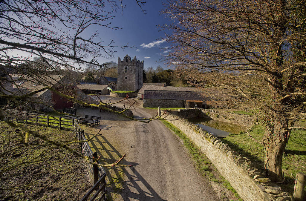 CastleCastle, unclassified · 653 yd
 Grange Beg Housedovecote/pigeon house/aviary · 787 yd
 IndicatedFairy fort / earthen ringfort · 791 yd
 Wardenstown Housecountry house · 808 yd
 OutlinedFairy fort / earthen ringfort · 1.6 mi
 Rathwire Moat & CastleCastle, motte and bailey · 2.2 mi
 ScregganWood · 3.4 mi
 Abandoned Kinnegad CanalWood · 4.8 mi
 Croppies' GraveMemorial · 6.5 mi
 Church (in Ruins)Church · 1033 yd
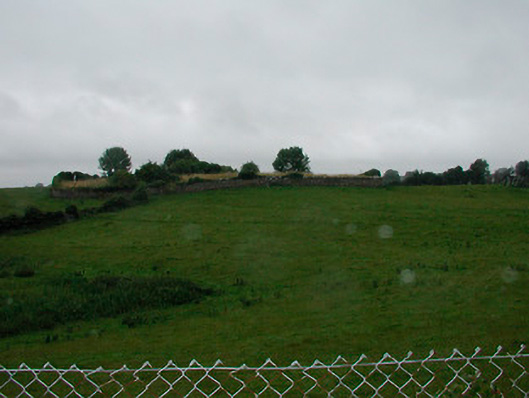 graveyard/cemeterygraveyard/cemetery · 1037 yd
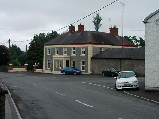 Riverview Househouse · 1324 yd