What is recorded here
Fairy forts are not fairy forts. They are human ringforts, misnamed later. This one in Newtown stood about thirty-five metres across, a low earthen circle in flat farmland. It appeared on maps as a shaded bank and inside ditch, then disappeared around 1968 when the land was reclaimed and the earth was taken. What remains is a gap: a place known only through drawing, memory and the certainty that people once lived inside a circle now gone.
In level tillage. Depicted as hachured circular enclosure on 1842 and 1906 OS 6-inch maps; as hachured bank SW->NNE and hachured scarp elsewhere (diam. c. 35m) on 1937 OS 6-inch map. No visible surface trace of site; according to local information levelled c. 1968 during land reclamation project. Inspection by OPW on 09-10-1968 described area as surrounded by dense scrub and almost inaccessible; low bank and partially waterlogged interior noted.
The above description is derived from the published 'Archaeological Inventory of County Cork. Volume 4: North Cork' (Dublin: Stationery Office, 2000). In certain instances the entries have been revised and updated in the light of recent research.
Date of upload/revision: 14 January 2009
The monument record does not grant public access. Check the route and ask the landowner before entering private land.
- What survives
- Recorded monument
Places near here
 Newtown Househouse · 220 yd
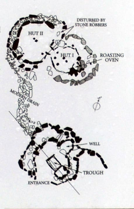 Fulacht FiadhFulacht fia · 724 yd
 Enclosure in SycamoreEnclosure · 824 yd
 Brough WoodWood · 919 yd
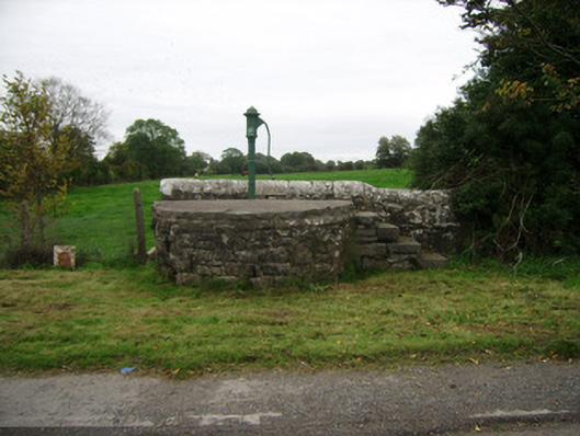 water pumpwater pump · 1289 yd
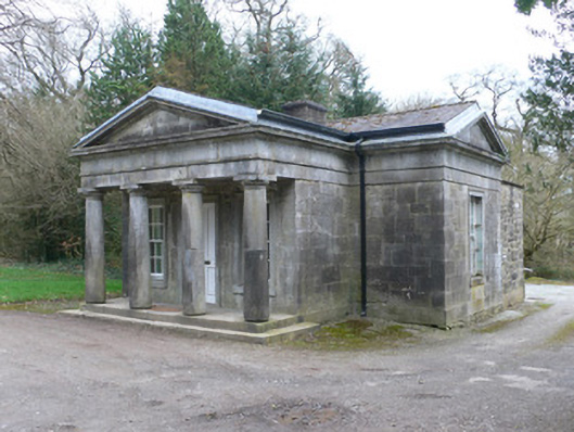 Doneraile Courtgate lodge · 1.2 mi
 Castle Pook (in Ruins)Castle, tower house · 1.2 mi
 CastlepookCastle · 1.2 mi
 Sweet ChestnutSweet Chestnut · 1.3 mi
 Smith's WellSpring · 1.3 mi
 Doneraile HouseHeritage attraction · 1.5 mi
 Coolfree MountainMountain / peak · 5.5 mi