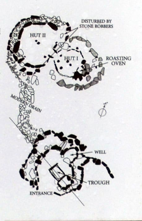
What is recorded here
In tillage. Spread of burnt material (22m NE-SW; 18m NW-SE). Possible spring to SW.
See also June 2000, unpublished archaeological monitoring report by Eachtra Archaeological Projects.
The above description is derived from the published 'Archaeological Inventory of County Cork. Volume 4: North Cork' (Dublin: Stationery Office, 2000). In certain instances the entries have been revised and updated in the light of recent research.
Date of upload/revision: 14 January 2009
The monument record does not grant public access. Check the route and ask the landowner before entering private land.
- What survives
- Recorded monument
Places near here
 Brough WoodWood · 508 yd
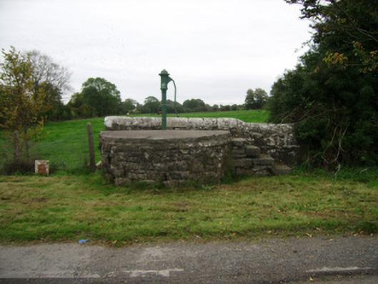 water pumpwater pump · 569 yd
 Newtown Househouse · 635 yd
 Enclosure in SycamoreEnclosure · 1187 yd
 Burnt mound in SkaghardgannonBurnt mound · 1543 yd
 Smith's WellSpring · 1689 yd
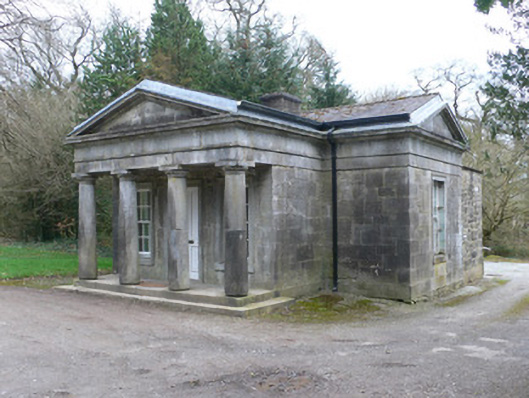 Doneraile Courtgate lodge · 1726 yd
 Doneraile Castle (Site of)Castle, unclassified · 1.1 mi
 Sweet ChestnutSweet Chestnut · 1.1 mi
 Castle Pook (in Ruins)Castle, tower house · 1.3 mi
 Doneraile HouseHeritage attraction · 1.4 mi
 Coolfree MountainMountain / peak · 5.8 mi
Other information
Photo: Credit not shown in the picture search · Rights wording not checked; contact us if this picture should be removed