What is recorded here
Fairy fort / earthen ringfort in Letfordspark is a fairy fort or earthen ringfort in Letfordspark, County Roscommon, Ireland. It occupies a gentle west-facing slope in a hollow between ridges, with a circular grass-covered area twenty-eight metres across. A shallow scarp, wide fosse, earthen bank and outer ditch surround the circle, but no entrance remains visible. Another rath stands about one hundred and thirty metres to the east.
Visible on aerial photographs (OS 1, 3323-2), and situated on a gentle W-facing slope in a hollow between ridges. Circular grass-covered area (diam. 28m N-S) defined by a scarp (H 0.2m) NW-E-SW, while a fosse (Wth of top 5m) separates it from an earthen bank (Wth 5-5.5m; H 0.2m) and outer fosse (Wth of top 3.5m; D 0.05-0.1m) NE-SE. There is no visible entrance. Rath (RO006-075----) is c. 130m to the E.
Compiled by: Michael Moore
Date of upload: 24 August 2010
The monument record does not grant public access. Check the route and ask the landowner before entering private land.
- What survives
- Recorded monument
Places near here
 IndicatedFairy fort / earthen ringfort · 190 yd
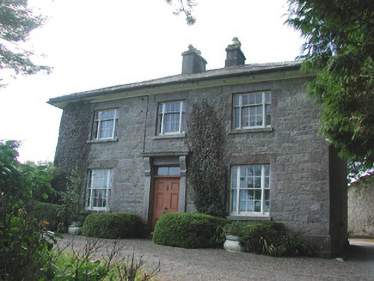 Ledford Parkhouse · 391 yd
 Embanked enclosureFairy fort / earthen ringfort · 651 yd
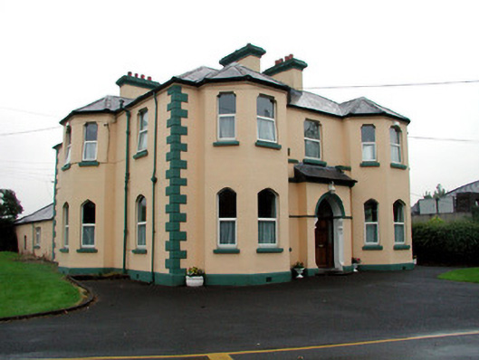 Saint Joseph's Catholic Churchpresbytery/parochial/curate's house · 785 yd
 Boyle AbbeyHeritage attraction · 921 yd
 King William MemorialMonument · 1014 yd
 Erris BayBay · 1.6 mi
 Bingham IslandIslet · 1.7 mi
 Lough Key Forest ParkWood · 2.0 mi
 Trinity IslandIslet · 2.0 mi
 Battle of Curlew PassMajor battlefield · 2.3 mi
 Battle of the Curlew Mountains (1599)Battlefield · 2.3 mi