
What is recorded here
On a rise of a N-facing slope. Circular area (diam. c. 28m) defined by a scarp (H 1-1.8m) NW-E-SSE and an outer berm (Wth 1-5m) NW-E. The interior and the rest of the perimeter is occupied by a house and garden. Archaeological excavation (00E0766) outside the perimeter at SW revealed no related features (Morahan 2002), and further testing (10E0478) c. 100m to the SE produced the same result (O'Neill 2013).
Compiled by: Michael Moore
Date of upload: 15 February 2011
A local fairy fort (ringfort/rath); wider significance not recorded.
The monument record does not grant public access. Check the route and ask the landowner before entering private land.
- What survives
- Recorded monument
Places near here
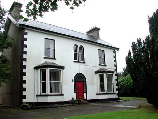 Mount Saint Josephhouse · 148 yd
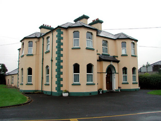 Saint Joseph's Catholic Churchpresbytery/parochial/curate's house · 238 yd
 Boyle AbbeyHeritage attraction · 272 yd
 King William MemorialMonument · 404 yd
 Brothers SculptureMonument · 410 yd
 IndicatedBastioned fort · 921 yd
 Erris BayBay · 1.7 mi
 Bingham IslandIslet · 1.7 mi
 Battle of Curlew PassMajor battlefield · 1.9 mi
 Battle of the Curlew Mountains (1599)Battlefield · 1.9 mi
 Trinity IslandIslet · 2.0 mi
 Lough Key Forest ParkWood · 2.1 mi
Other information
Photo: Credit not shown in the picture search · Rights wording not checked; contact us if this picture should be removed