What is recorded here
Situated on a slight rise, in gently undulating pasture, with good views in all directions. Depicted on the revised 1913 ed. OS 25-inch map as a circular-shaped earthwork. Monument described in 1970-2 as a circular-shaped area (dims. 32m NW-SE; 30.5m NE-SW) enclosed by a bank and external fosse with possible entrance gap (overall Wth 4m; basal Wth 1.4m) at SSE. The bank is best preserved from WSW-N and is otherwise reduced to a scarp in places. A shallow fosse is visible from NW-N and quarrying is evident S-W-NW. The interior has a slight E-facing slope and contains a possible Man-made underground passage in the NE sector. Monument is visible tody as a roughly circular-shaped earthwork on Digital Globe aerial photography.
Compiled by Alison McQueen, Vera Rahilly and Caimin O’Brien
Date of upload: 05 July 2019
The monument record does not grant public access. Check the route and ask the landowner before entering private land.
- What survives
- Recorded monument
Places near here
 Man-made underground passage in Higginstown (farbill By.)Man-made underground passage · 11 yd
 Creggstown Househouse · 664 yd
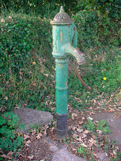 water pumpwater pump · 1034 yd
 OutlinedFairy fort / earthen ringfort · 1444 yd
 Edmondstown Castle (in Ruins)Castle, tower house · 1.2 mi
 Rathwire Moat & CastleCastle, motte and bailey · 1.6 mi
 GinkgoGinkgo · 3.0 mi
 ScregganWood · 4.3 mi
 Croppies' GraveMemorial · 8.5 mi
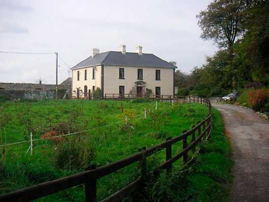 Millarstown Househouse · 1381 yd
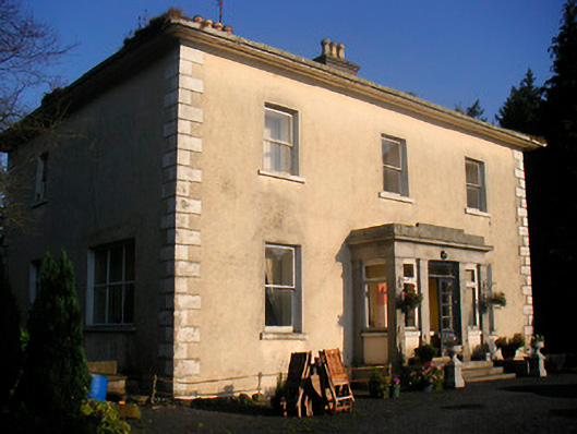 Corbetstown Househouse · 1512 yd
 Enclosure in CorbetstownEnclosure · 1526 yd