
What is recorded here
Situated on a slight rise, on gently undulating pasture, with good views in all directions. In NE sector of ringfort (WM020-081----) are the remains of a possible Man-made underground passage. It is visible as a Y-shaped depression (L 5.2m NNW-SSE; 5.3m E-W; 4.7m WSW-ENE; average Wth 1.5-3m; average D 0.2-3m) which may represent the collapsed roof subsiding into a subterranean passage.
Compiled by Alison McQueen, Vera Rahilly and Caimin O’Brien.
Date of upload: 05 July 2019
The monument record does not grant public access. Check the route and ask the landowner before entering private land.
- What survives
- Recorded monument
Places near here
 Creggstown Househouse · 663 yd
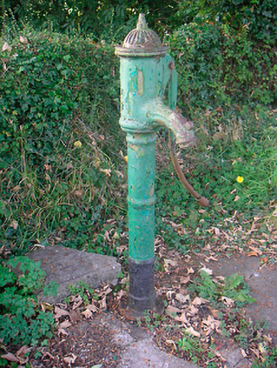 water pumpwater pump · 1024 yd
 OutlinedFairy fort / earthen ringfort · 1453 yd
 Enclosure in CorbetstownEnclosure · 1515 yd
 Edmondstown Castle (in Ruins)Castle, tower house · 1.2 mi
 Rathwire Moat & CastleCastle, motte and bailey · 1.6 mi
 GinkgoGinkgo · 3.0 mi
 ScregganWood · 4.3 mi
 Croppies' GraveMemorial · 8.5 mi
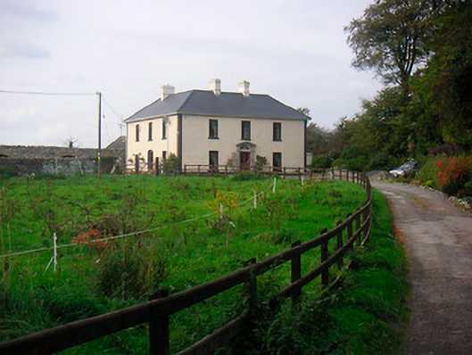 Millarstown Househouse · 1381 yd
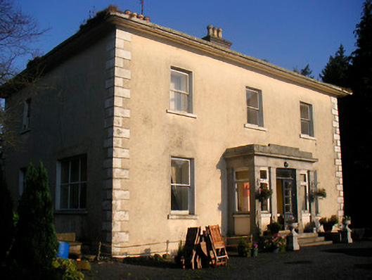 Corbetstown Househouse · 1501 yd
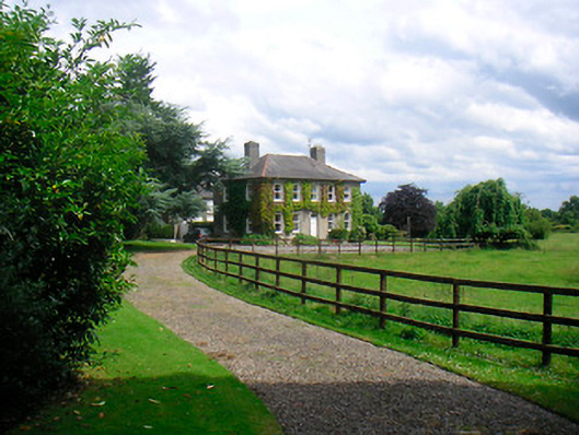 Saint Etchen'shouse · 1.0 mi
Other information
Photo: Credit not shown in the picture search · Rights wording not checked; contact us if this picture should be removed