What is recorded here
None. The supplied facts contain no location, purpose, events, or visible identity suitable for the requested story.
Situated at the bottom of a NE-facing slope. This is a circular grass-covered and slightly domed area (diam. 41m ENE-WSW; 39m NNW-SSE) defined by an earthen bank (at WSW: Wth of base 4.3m; int. H 0.5m; ext. H 1.5m) and an outer fosse (Wth of top 4-4.5m; ext. D 0.4-0.5m). A linear grass-covered depression (L 9m; Wth 3.8m; max. D 0.4m) which extends W from the centre is probably an old quarry. The original entrance (Wth of base 2.9m) and causeway (Wth of top 2.2m; H 0.4m) are at E.
The above description is derived from the published 'Archaeological Inventory of County Meath' (Dublin: Stationery Office, 1987). In certain instances the entries have been revised and updated in the light of recent research.
Compiled by: Michael Moore
Date of revision: 9 January 2019
The monument record does not grant public access. Check the route and ask the landowner before entering private land.
- What survives
- Recorded monument
Places near here
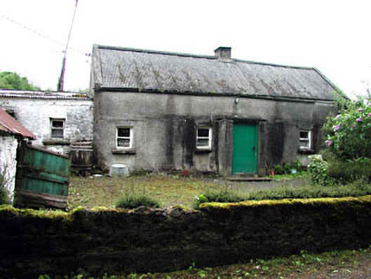 farm housefarm house · 905 yd
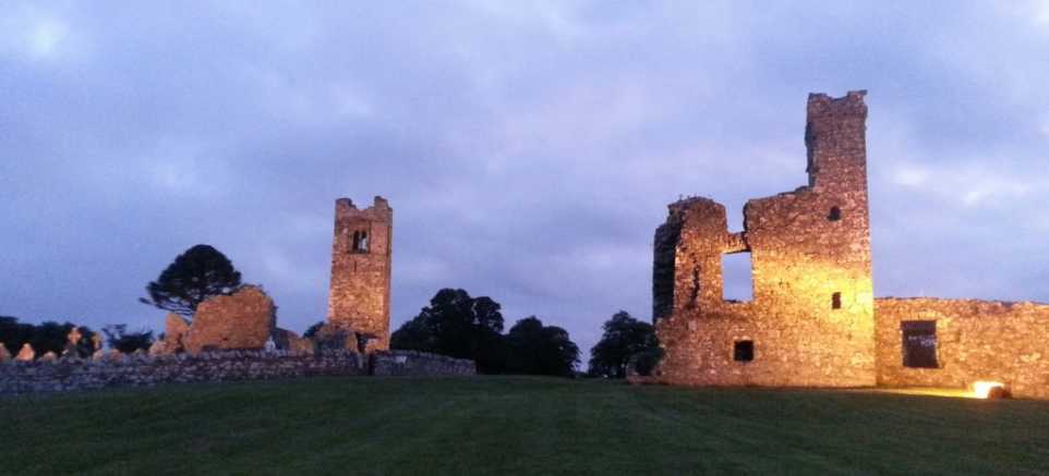 IndicatedEnclosure · 1139 yd
 Seafin HillMountain / peak · 1186 yd
 SeefinFairy fort / earthen ringfort · 1199 yd
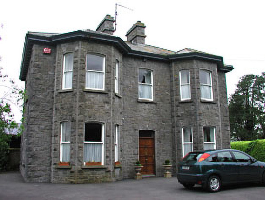 Saint Mary'spresbytery/parochial/curate's house · 1326 yd
 Green CastleCastle, unclassified · 1643 yd
 Moat CastleCastle, unclassified · 1703 yd
 European BeechEuropean Beech · 1.2 mi
 Noggin HillMountain / peak · 1.8 mi
 Zip WireHeritage attraction · 2.1 mi
 European YewEuropean Yew · 2.2 mi
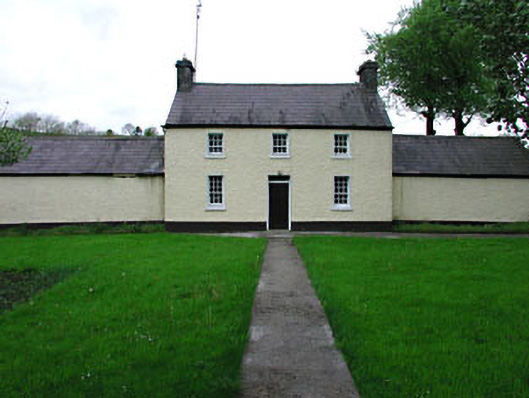 Rockwoodfarm house · 1329 yd