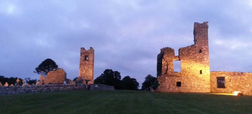
What is recorded here
Located on a SE-facing slope. A crescent-shaped annexe attached to the W of rath (ME015-072----) is depicted on the 1908 edition of the OS 6-inch map and is barely perceptible as a grass-covered crescent (dims c. 40m NNW-SSE; c. 15m ENE-WSW) defined by a slight scarp SSE-W-N which is attached to the perimeter of the rath at SSE and N. It could be an enclosure or a rath pre-dating rath (ME015-072----).
Compiled by: Michael Moore
Date of upload: 9 January, 2019
A local fairy fort (ringfort/rath); wider significance not recorded.
The monument record does not grant public access. Check the route and ask the landowner before entering private land.
- What survives
- Recorded monument
Places near here
 Seafin HillMountain / peak · 1076 yd
 SeefinFairy fort / earthen ringfort · 1091 yd
 CastleCastle, tower house · 1099 yd
 Partially hachuredFairy fort / earthen ringfort · 1654 yd
 kilnkiln · 1.1 mi
 European BeechEuropean Beech · 1.1 mi
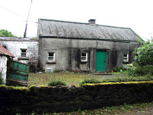 farm housefarm house · 1.1 mi
 Moat CastleCastle, unclassified · 1.5 mi
 Ben of ForeMountain / peak · 1.6 mi
 Fore AbbeyHeritage attraction · 2.0 mi
 European ashEuropean ash · 2.2 mi
 St Feichin's MillHeritage attraction · 2.2 mi
Other information
Photo: Credit not shown in the picture search · Rights wording not checked; contact us if this picture should be removed