
What is recorded here
A castle at Ballinlough (40) in Moylagh parish and Fore barony is not marked on the Down Survey (1656-8) barony or parish maps (http://downsurvey.tcd.ie/). According to the Civil Survey (1654-6) Sir Richard Barnwall of Crickstown (ME039-006----) owned 70 acres there in 1640 and on the premises was ‘a Ruinous Castle’ (Simington 1940, 266). In this parish he also owned Moylagh Castle (ME015-033001-) (ibid.). It is situated in a slight col with higher ground to the NW and SE and lower ground to the W and E. Only the ground floor of a rectangular structure (ext. dims 10.7m NW-SE; 7m NE-SW) survives with traces of barrel-vaulting attached to the NW wall.
The above description is derived from the published 'Archaeological Inventory of County Meath' (Dublin: Stationery Office, 1987). In certain instances the entries have been revised and updated in the light of recent research.
Compiled by: Michael Moore
Date of revision: 13 June 2016
Sir Richard Barnwall held Castle Ballinlough in the mid-17th century, as recorded in the Civil Survey of 1654–56. It is remembered for its inclusion in contemporary land records during the turbulent period of Confederate Ireland and Cromwellian conquest.
The monument record does not grant public access. Check the route and ask the landowner before entering private land.
- What survives
- Recorded monument
Places near here
 SeefinFairy fort / earthen ringfort · 710 yd
 Seafin HillMountain / peak · 712 yd
 IndicatedEnclosure · 800 yd
 Noggin HillMountain / peak · 1.0 mi
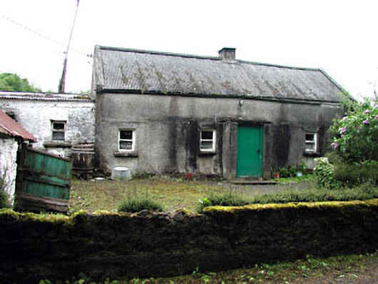 farm housefarm house · 1.3 mi
 kilnkiln · 1.3 mi
 Green CastleCastle, unclassified · 1.6 mi
 European BeechEuropean Beech · 1.7 mi
 MoatCastle, motte and bailey · 1.8 mi
 Fore AbbeyHeritage attraction · 2.0 mi
 St Feichin's MillHeritage attraction · 2.1 mi
 European ashEuropean ash · 2.1 mi
Other information
Photo: Credit not shown in the picture search · Rights wording not checked; contact us if this picture should be removed