
What is recorded here
Situated on NW-facing slope of high hill with excellent views in all directions except to the SE. Only the W half of this poorly preserved ringfort survives upstanding which is bisected by a field fence running NW-SE. No visible remains of enclosing element of monument on E side of field fence and no cropmark of enclosing element visible on Digital Globe aerial photographs taken November 2011. A second field boundary running E-W intersects the S perimeter of the ringfort. No evidence of enclosing bank from SE-S-SW where second field intersects monument. Present remains consist of a roughly semi-circular shaped area (approx. diam. 30m N-S; 29m E-W) defined by an arc or curving section of earthen bank (Wth 2m; int. H 0.5m; ext. H 0.7m) only visible from SW-W-N and an external shallow fosse (Wth 2m; ext. D 0.3m). Traces of cultivation ridges can be seen running across the interior.
Compiled by: Frank Coyne & Caimin O'Brien
Date of upload: 12 December 2016
The monument record does not grant public access. Check the route and ask the landowner before entering private land.
- What survives
- Recorded monument
Places near here
 St. Feighins CrossCross, Wayside cross · 1093 yd
 kilnkiln · 1132 yd
 Ben of ForeMountain / peak · 1242 yd
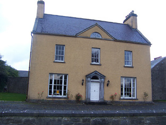 Sallymount Housefarm house · 1326 yd
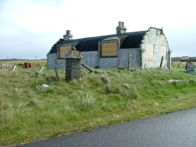 Hut site in BalnavineHut site · 1328 yd
 CastleCastle, tower house · 1547 yd
 MoatCastle, motte and bailey · 1.0 mi
 Fore AbbeyHeritage attraction · 1.2 mi
 Seafin HillMountain / peak · 1.2 mi
 St Feichin's MillHeritage attraction · 1.3 mi
 European ashEuropean ash · 1.3 mi
 European BeechEuropean Beech · 1.7 mi
Other information
Photo: Credit not shown in the picture search · Rights wording not checked; contact us if this picture should be removed