What is recorded here
Fairy fort / earthen ringfort in Glen is a circular earthwork in County Longford, Ireland. It has two entrances, a surrounding ditch, and a bank that modern fields have partly erased. The surviving curve suggests people shaped the land before forgetting the name of the fort.
In low-lying pasture. A raised circular area (diam. c. 45m) enclosed by a bank of earth and stone (Wth 3.8-4m; H 0.4-0.5m) with an external fosse (Wth 4m; D 0.4m), which has been infilled at W and NW. A report in 1976 (SMR file) recorded a wide low bank of earth and stone at the outer lip of the fosse from W-N-ENE; it has since been levelled. Elsewhere its circuit is preserved in modern, curving, field boundaries. There are entrances at WNW (Wth 2m) and at NW (Wth 1m).
Compiled by: Patrick F. O'Donovan
Date of upload: 26 August 2011
The monument record does not grant public access. Check the route and ask the landowner before entering private land.
- What survives
- Recorded monument
Places near here
 MoatCastle, motte · 800 yd
 Caldragh Church YardBurial ground · 853 yd
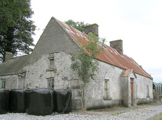 Cornaparkhouse · 1004 yd
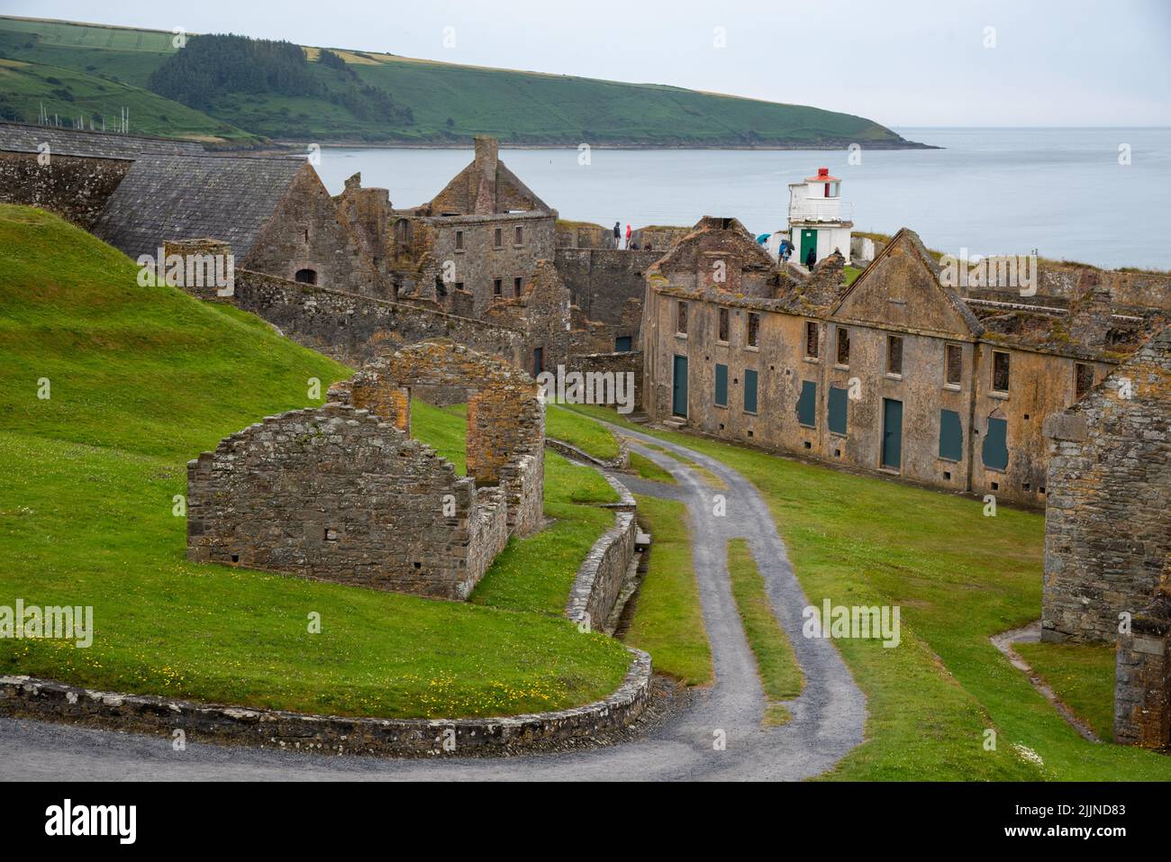 Fort, MoataphucaCastle, motte · 1277 yd
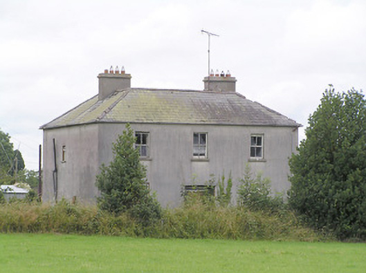 Lissanure Househouse · 1481 yd
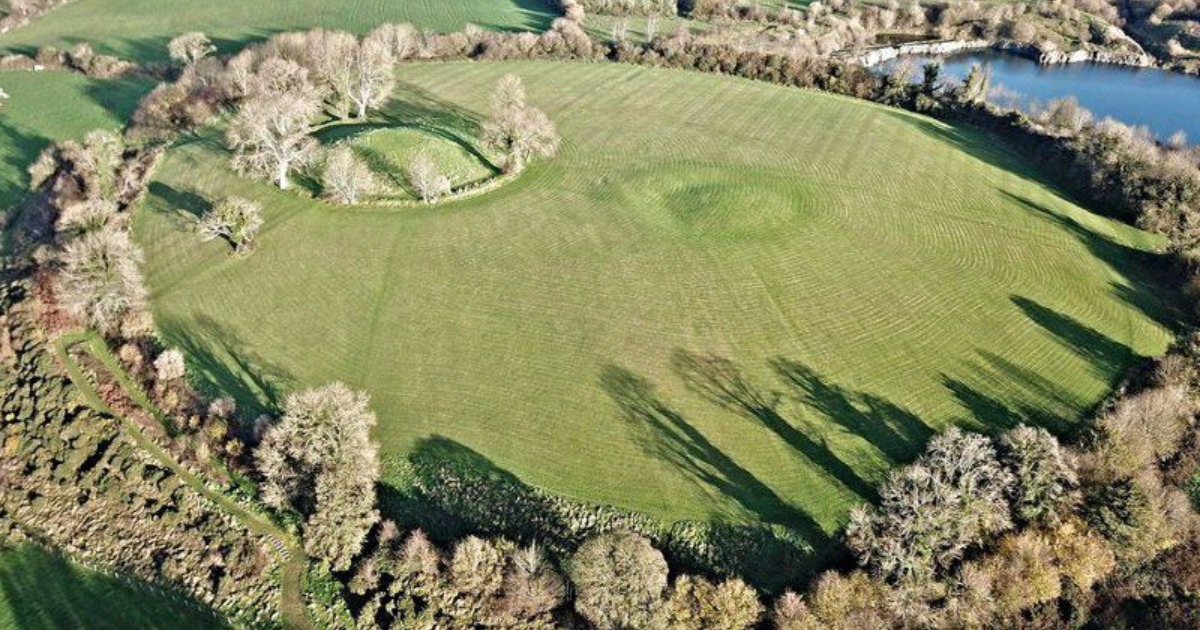 Fairy fort / earthen ringfort in BarneFairy fort / earthen ringfort · 1602 yd
 Edgeworthstown BypassMemorial · 2.0 mi
 Sweet ChestnutSweet Chestnut · 2.3 mi
 ShawbrookForest · 2.6 mi
 Granard MotteMotte-and-bailey castle remains · 8.8 mi
 1798 Monumentmonument · 8.8 mi
 Graveyard in Curry (ardagh By., Coolamber Ed)Graveyard · 9.2 mi