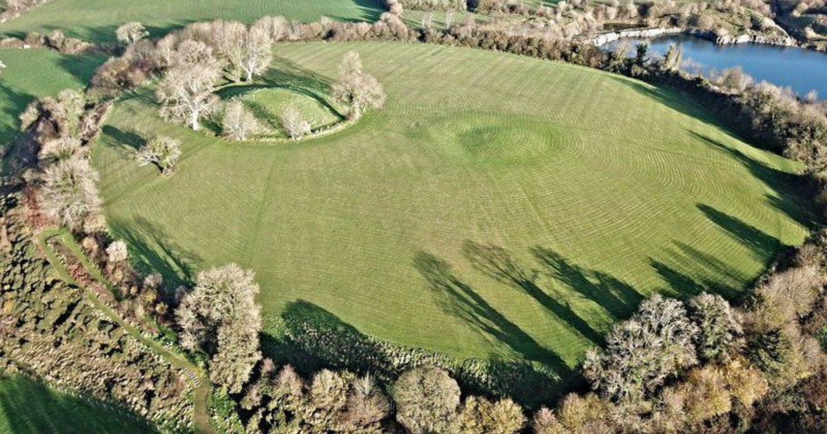
What is recorded here
On a NE-facing slope in pasture. A report in 1976 (SMR file) indicates that this raised subcircular area (c. 45m N-S; c. 37m E-W) was defined by a wide low bank of earth and stone and an external fosse. The original entrance may have been at NE. It is defined by a steep scarp (H 1-1.2m), which is incorporated into a field boundary from S-SW-WSW. At the base of the scarp from W-WNW-NW is a modern drain. At SE it is skirted by a hedgerow.
Compiled by: Patrick F. O'Donovan
Date of upload: 26 November 2011
A local fairy fort (ringfort/rath); wider significance not recorded.
The monument record does not grant public access. Check the route and ask the landowner before entering private land.
- What survives
- Recorded monument
Places near here
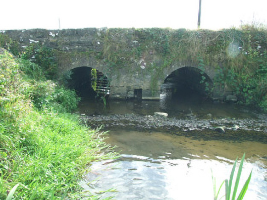 bridgebridge · 649 yd
 IndicatedEnclosure · 859 yd
 BarrowBarrow, mound barrow · 948 yd
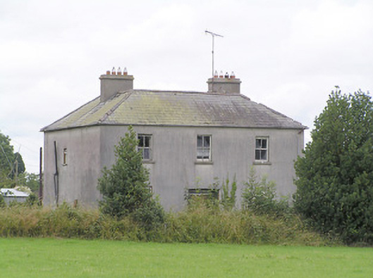 Lissanure Househouse · 1132 yd
 MoatawardCastle, motte and bailey · 1582 yd
 MoatCastle, motte · 1620 yd
 Edgeworthstown BypassMemorial · 1.3 mi
 Silver FirSilver Fir · 2.1 mi
 ShawbrookForest · 3.5 mi
 Granard MotteMotte-and-bailey castle remains · 7.9 mi
 1798 Monumentmonument · 8.0 mi
 Graveyard in Curry (ardagh By., Coolamber Ed)Graveyard · 9.3 mi
Other information
Photo: Credit not shown in the picture search · Rights wording not checked; contact us if this picture should be removed