
What is recorded here
On a W-facing slope in pasture. A report in 1976 (SMR file) recorded a low subcircular mound of earth and stone (c. 18m E-W; c. 16m N-S; H. c. 1m). There was no trace of an encircling bank or fosse. The mound has since been levelled and its site is marked by an irregular rise.
Compiled by: Patrick F. O'Donovan
Date of upload: 26 August 2011
A local ancient tomb; wider significance not recorded.
The monument record does not grant public access. Check the route and ask the landowner before entering private land.
- What survives
- Recorded monument
Places near here
 IndicatedEnclosure · 169 yd
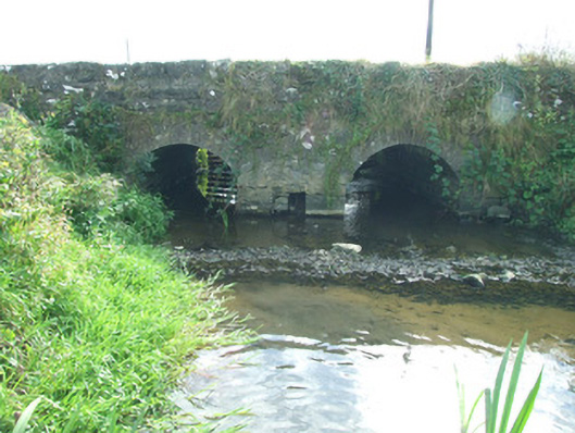 bridgebridge · 359 yd
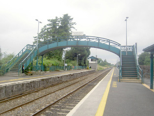 Edgeworthstown Railway Stationfoot bridge, bridge · 692 yd
 MoatawardCastle, motte and bailey · 748 yd
 Enclosure in LisnagrishEnclosure · 922 yd
 Edgeworthstown BypassMemorial · 1409 yd
 MoatCastle, motte · 1.3 mi
 Silver FirSilver Fir · 2.5 mi
 ShawbrookForest · 4.0 mi
 Granard MotteMotte-and-bailey castle remains · 7.4 mi
 1798 Monumentmonument · 7.5 mi
 Graveyard in Curry (ardagh By., Coolamber Ed)Graveyard · 9.2 mi
Other information
Photo: Credit not shown in the picture search · Rights wording not checked; contact us if this picture should be removed