Places near here
Photo credits
- Sarah777, Wikimedia Commons · CC BY-SA 2.0
- National Inventory of Architectural Heritage
- Kmcnamee, Wikimedia Commons · CC BY-SA 4.0
- SE Keenan, Wikimedia Commons · CC BY-SA 4.0
- Algirdas at Lithuanian Wikipedia, Wikimedia Commons · Public domain
- Charles T. G. Clarke, Wikimedia Commons · CC BY-SA 4.0
- Willow, Wikimedia Commons · CC BY 2.5
- Granard Motte.png : Smcq Derivative work: Hogweard, Wikimedia Commons · CC BY-SA 3.0
- 2ManyCats4Me, Wikimedia Commons · CC0
- Gillaween, Wikimedia Commons · CC BY-SA 4.0
 Edgeworthstown Railway StationRailway station · 856 yd
Explorer Tom Edgeworthstown Railway Station in Edgeworthstown saw a priest lose a bet there back in the day. It’s got that Victorian…
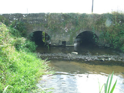 bridge1098 yd
Explorer Tom Bridge in Barne in County Longford is hiding a secret message in its old stones that nobody has managed to crack yet.…
 Devine Park, MostrimGAA ground · 1.1 mi
 Ardagh Clock TowerMonument · 4.5 mi
Explorer Tom Ardagh Clock Tower thinks it’s on the main street but is actually taking a scenic detour through time itself. It tells…
 Pedunculate Oak4.6 mi
Explorer Tom Pedunculate Oak in County Longford caused a feud because two families argued over who owned the view from its top…
 Coolamber CastleHouse, fortified house · 4.9 mi
Explorer Tom Coolamber Castle House is where Saint Patrick would have said, ‘You’ve got a bit of an ego for a pile of rocks.’…
Keenan Park, Ardagh MoydowGAA ground · 4.9 mi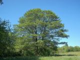 Common Alder5.0 mi
Explorer Tom Common Alder in Longford is having a fake royal visit that nobody can disprove because no one saw it happen. It's a…
 Moat of GranardCastle, motte and bailey · 7.0 mi
Explorer Tom The local sheep at Granard Moat rate it a solid four stars for grass quality. Richard de Tuit built it in 1199 to fight…
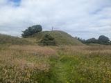 Granard MotteMotte-and-bailey castle remains · 7.0 mi
Explorer Tom Granard Motte would describe the 1800s to a teenager as 'basically a long queue for nothing'. It's just a big mound…
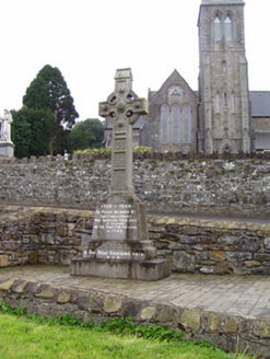 1798 MonumentMonument · 7.1 mi
Explorer Tom The 1798 Monument in Granard uses a Celtic high cross style to tell you about a battle that happened two hundred years…
 Sheela-na-gig in AbbeylaraSheela-na-gig · 7.9 mi
Explorer Tom Sheela-na-gig in Abbeylara has been staring into the void for centuries, and I swear she’s judging your outfit while…
More castles and forts in County Longford · All of County Longford

What do you know about this place?Tap to add a comment or ask a question