Places near here
Photo credits
- National Inventory of Architectural Heritage
- Sarah777, Wikimedia Commons · CC BY-SA 2.0
- Eric Jones, Geograph · CC BY-SA 2.0
- Eric Jones, Geograph · Creative Commons Attribution-ShareAlike 2.0
- Agriland; individual photographer not stated for this photograph, www.agriland.ie
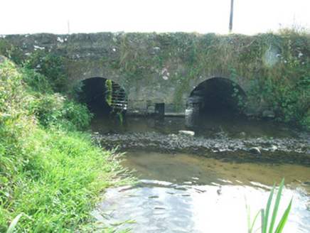 bridge1163 yd
Explorer Tom Bridge in Barne in County Longford is hiding a secret message in its old stones that nobody has managed to crack yet.…
 Edgeworthstown Railway StationRailway station · 1349 yd
Explorer Tom Edgeworthstown Railway Station in Edgeworthstown saw a priest lose a bet there back in the day. It’s got that Victorian…
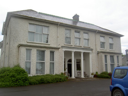 Edgeworthstown HouseCountry house · 1.0 mi
Explorer Tom Edgeworthstown House is hiding a scandal from 1725 involving an earl, a broken nose, and a very angry goose. The Doric…
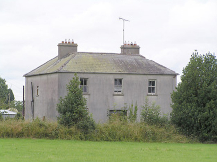 Lissanure HouseHouse · 1.1 mi
Explorer Tom Lissanure House in County Longford is out of use but still acting like a major player, with its deep plan and sliding…
 coach house1.1 mi
Explorer Tom Coach house in Edgeworthstown thinks the road leading to it is a bit of a letdown. It’s got a fancy coat-of-arms plaque…
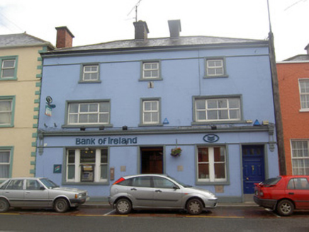 Bank of IrelandHouse · 1.1 mi
Explorer Tom The Bank of Ireland in Edgeworthstown was built using a bargain that involved a lot of handshakes and questionable…
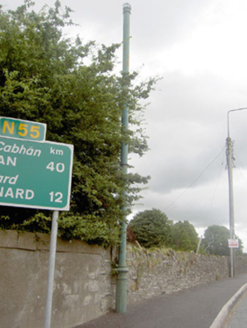 vent pipe1.1 mi
Explorer Tom Vent pipe in Edgeworthstown is just standing there on Granard Street, looking like it’s judging your footwear. The…
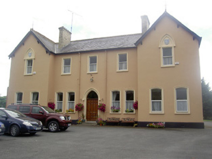 Saint Elizabeth's ConventConvent/nunnery · 1.1 mi
Explorer Tom Saint Elizabeth's Convent is said to be guarded by a giant who only appears if you drop your keys inside the grounds.…
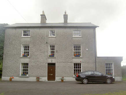 The RectoryRectory/glebe/vicarage/curate's house · 1.1 mi
Explorer Tom The Rectory in Edgeworthstown, County Longford took a million cups of tea to construct back in the Georgian era, I am…
 Catholic Church of the Immaculate ConceptionChurch/chapel · 1.1 mi
Explorer Tom Catholic Church of the Immaculate Conception has made its New Year's resolution: stop being so fancy. Built on…
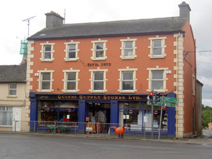 Quinns Supply StoresHouse · 1.1 mi
Explorer Tom Quinns Supply Stores in Edgeworthstown would complain to the council that the road is too bumpy and ruins its…
 Devine Park, MostrimGAA ground · 1.4 mi
More archaeology and monuments in County Longford · All of County Longford

What do you know about this place?Tap to add a comment or ask a question