What is recorded here
On a gentle SE-facing slope in pasture. A circular, steep-sided mound of earth and stone (H c. 4-5m; diam. at base 28m; diam. at summit c. 11m). The summit is enclosed by a bank of earth and stone (Wth 4m; H 0.5m) from ESE-S-NW, while there is a depression (2.5m; D 0.3m) of unknown significance at NW. There is no evidence of an encircling fosse or of a bailey. O'Donovan
Date of upload: 26 August 2011
From the National Monuments Service (Archaeological Survey of Ireland) record LF020-024
The monument record does not grant public access. Check the route and ask the landowner before entering private land.
- What survives
- Recorded monument
Places near here
Photo credits
- National Inventory of Architectural Heritage
- Algirdas at Lithuanian Wikipedia, Wikimedia Commons · Public domain
- Willow, Wikimedia Commons · CC BY 2.5
- SE Keenan, Wikimedia Commons · CC BY-SA 4.0
- Charles T. G. Clarke, Wikimedia Commons · CC BY-SA 4.0
- Granard Motte.png : Smcq Derivative work: Hogweard, Wikimedia Commons · CC BY-SA 3.0
- 2ManyCats4Me, Wikimedia Commons · CC0
- Gillaween, Wikimedia Commons · CC BY-SA 4.0
- AndreasDelp, Wikimedia Commons · CC BY-SA 4.0
- Arno-nl, Wikimedia Commons · CC BY-SA 4.0
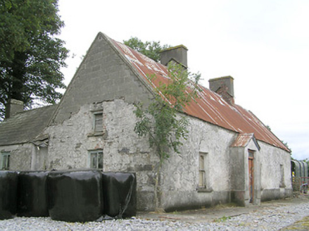 CornaparkHouse · 1.0 mi
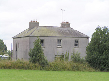 Lissanure HouseHouse · 1.1 mi
 Pedunculate Oak2.9 mi
 Common Alder3.3 mi
 Ardagh Clock TowerMonument · 3.4 mi
 Coolamber CastleHouse, fortified house · 6.2 mi
 Moat of GranardCastle, motte and bailey · 8.7 mi
 Granard MotteMotte-and-bailey castle remains · 8.8 mi
 1798 MonumentMonument · 8.9 mi
 Sheela-na-gig in AbbeylaraSheela-na-gig · 9.6 mi
 InchcleraunIsland · 17 mi
 Safe HarbourBay · 18 mi
More castles and forts in County Longford · All of County Longford
What do you know about this place?