
What is recorded here
On a S-facing slope. Named 'Caldragh Church Yard' on the 1837 ed. of the OS 6-inch map and 'Site of' on the 1914 ed. This townland was known as: 'Gleann na n-Easbog, Vallis Episcoporum, Valley of the Bishops’ and was so named because ‘it contains an old graveyard, in which, according to tradition, four bishops are buried' (OSNB, Ardagh parish, 1836-7, book 4, 51). The OS Letters (1837) refer to it as a 'churchyard’ (OSL, 39). The English form of the name 'Caldragh' derives from the Irish Cealltrach meaning ‘old churchyard’: the element ceall meaning ‘church’, but the name was generally used to refer to a place of burial. The name has also come to be associated with locations used as the burial grounds of unbaptised children. However, there is no evidence to suggest that a children's burial ground existed here. The site is occupied by a modern house. A quantity of bone was discovered during the excavation of the house foundations (local information).
Compiled by: Patrick F. O'Donovan, Caimin O'Brien
Date of upload: 15 April 2013
A local ancient tomb; wider significance not recorded.
The monument record does not grant public access. Check the route and ask the landowner before entering private land.
- What survives
- Recorded monument
Places near here
 MoatCastle, motte · 124 yd
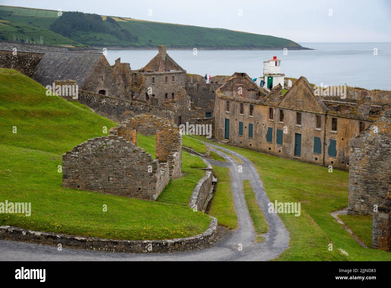 Fort, MoataphucaCastle, motte · 1424 yd
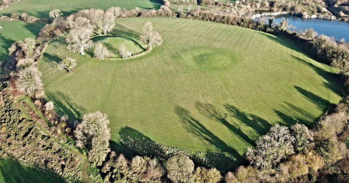 Fairy fort / earthen ringfort in BarneFairy fort / earthen ringfort · 1523 yd
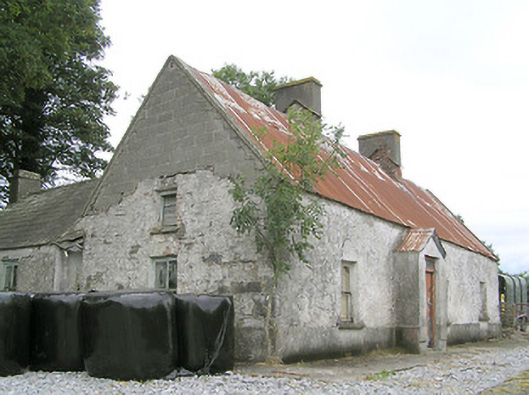 Cornaparkhouse · 1.1 mi
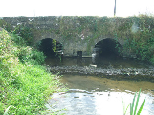 bridgebridge · 1.1 mi
 Enclosure in ShantumEnclosure · 1.2 mi
 Edgeworthstown BypassMemorial · 1.7 mi
 ShawbrookForest · 2.9 mi
 Pedunculate OakPedunculate Oak · 3.0 mi
 Granard MotteMotte-and-bailey castle remains · 8.7 mi
 Graveyard in Curry (ardagh By., Coolamber Ed)Graveyard · 8.8 mi
 1798 Monumentmonument · 8.8 mi
Other information
Photo: Credit not shown in the picture search · Rights wording not checked; contact us if this picture should be removed