What is recorded here
Situated on flat reclaimed pasture-land immediately E of a stream which marks the boundary with County Longford, poorly drained land to the N, S & W, with good views of the surrounding countryside. The stream runs around the W side of the monument forming a defensive feature. A circular raised platform (approx. diam. 14m; approx. H 3m) defined by a slight poorly preserved earthen bank, best visible from SW-W-N. Fir trees have been planted on the bank, and it appears that the bank was modified at the time of the tree planting. No trace of an external fosse. At S & SE modern farm buildings encroach on the site. The raised interior slopes slightly towards the centre. Local information suggests that there is a Man-made underground passage at this site. A depression in the interior may indicate the location of this feature. According to local tradition there was a hole in the centre of the platform with stone steps or stairs leading down into the hole. At ESE a trench has been cut through the side and upper edge of the platform, in modern times a gateway was erected at its lower end. The depression in the top of the platform may be due to the collapse of a substructure. Classification of this monument is difficult and it is possible that it could be the remains of a raised rath rather than an Anglo-Norman motte castle.
Situated on flat reclaimed pasture-land immediately E of a stream which marks the boundary with County Longford, poorly drained land to the N, S & W, with good views of the surrounding countryside. The stream runs around the W side of the monument forming a defensive feature. A circular raised platform (approx. diam. 14m; approx. H 3m) defined by a slight poorly preserved earthen bank, best visible from SW-W-N.…
From the National Monuments Service (Archaeological Survey of Ireland) record WM005-002
The monument record does not grant public access. Check the route and ask the landowner before entering private land.
- What survives
- Recorded monument
Places near here
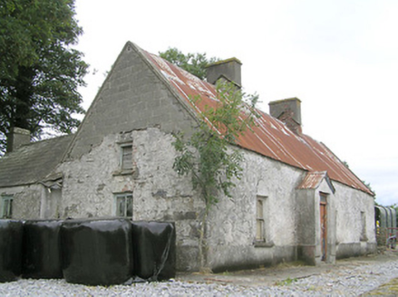 CornaparkHouse · 1689 yd
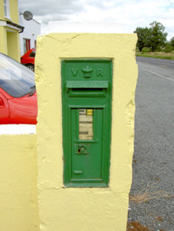 post box1.3 mi
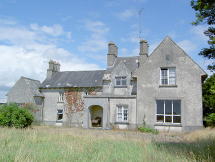 Sleehaun HouseHouse · 1.3 mi
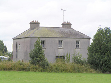 Lissanure HouseHouse · 1.6 mi
 Pedunculate Oak2.2 mi
 Common Alder2.6 mi
 Ardagh Clock TowerMonument · 3.4 mi
 Coolamber CastleHouse, fortified house · 6.7 mi
 Moat of GranardCastle, motte and bailey · 9.4 mi
 Granard MotteMotte-and-bailey castle remains · 9.5 mi
 1798 MonumentMonument · 9.5 mi
 Sheela-na-gig in AbbeylaraSheela-na-gig · 10 mi
Pictures: National Inventory of Architectural Heritage; Algirdas at Lithuanian Wikipedia, Wikimedia Commons · Public domain; Willow, Wikimedia Commons · CC BY 2.5; SE Keenan, Wikimedia Commons · CC BY-SA 4.0; Charles T. G. Clarke, Wikimedia Commons · CC BY-SA 4.0; Granard Motte.png : Smcq Derivative work: Hogweard, Wikimedia Commons · CC BY-SA 3.0; 2ManyCats4Me, Wikimedia Commons · CC0; Gillaween, Wikimedia Commons · CC BY-SA 4.0
More castles and forts in County Westmeath · All of County Westmeath
What do you know about this place?