What is recorded here
Fairy forts hide in plain sight, wearing the clothes of ordinary farmland. In Drombanny, a forty-metre ring was drawn across a south-facing slope, large enough for hearth-smoke and children’s feet. Ploughs and quarrying have bitten through it, yet a scarped edge still marks the boundary where human life turned the earth into a room. The fairies never left; they simply stopped being visible to the people busy enough to forget them.
On a S-facing slope in rolling pasture, immediately NW of a farm track. The monument, depicted on the OS 1840 map as a circular enclosure (diam. c. 40m), has been levelled but is still evident as a sub-oval area (c. 19.8m WNW-ESE) defined by a scarped edge (Wth 2.2m; H 0.2m) in the W, S and SE. An earthen bank (Wth 1.75m; H 0.1 -0.2m) runs NE-SW c. 4.5m W of the site; this may be the remains of an old field boundary. There is a steeper natural break in slope c. 5m E of the site. There is an area of quarrying c. 5m to the N, and c. 20m to the N is an area where topsoil and builders rubble have recently been dumped.
Compiled by: Denis Power
Date of upload: 31 May 2013
The monument record does not grant public access. Check the route and ask the landowner before entering private land.
- What survives
- Recorded monument
Places near here
 MillMill, unclassified · 789 yd
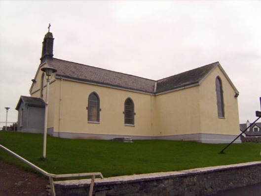 Saint Patrick's Catholic Churchchurch/chapel · 789 yd
 Lickadoon Castle (in ruins)Castle, tower house · 837 yd
 Enclosure in DrombannyEnclosure · 1140 yd
 Browns StoneBurial ground · 1429 yd
 Bawn in Raheen (clanwilliam By., Roxborough Ed)Bawn · 1.3 mi
 Campus MapVisitor information · 4.3 mi
 Visitor CentreVisitor information · 4.3 mi
 Fountain SculptureHeritage attraction · 4.3 mi
 Graveyard in AbingtonGraveyard · 6.8 mi
 Lickadoon Castlecountry house · 1262 yd
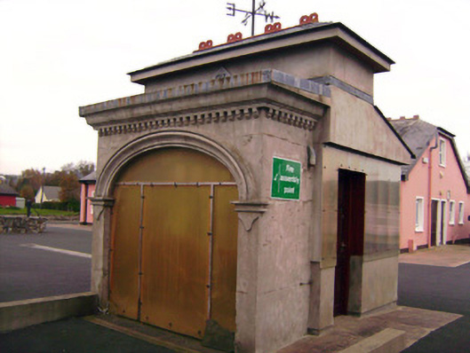 Drombanny Creamerycreamery · 1729 yd