What is recorded here
Fairy fort / earthen ringfort in Clogh (rathcline By.) stands on a hillock above low pasture, preserving a broad oval scarped edge and faint northern ditch. Inside, ghostly wall footings and two possible house places suggest a crowded domestic world rather than an empty mystical shell. The lost entrance and vanished outer bank remind us that much of its shape has slipped into grass and memory.
On a hillock in otherwise low-lying pasture, with good views in all directions. Described in 1976 (SMR file) as a large circular ringfort defined by a low bank with a shallow intervening fosse and an outer bank. The latter two features were only evident on the N side of the monument. Two possible house sites (LF022-026002- and LF022-026003-) were noted in the NW and SW quadrants of the interior. This raised oval area (c. 48m NW–SE; c. 39m NE–SW) is now defined by a scarp (H 1.2-1.6m) with an external fosse (Wth 2.2m; D 0.2-0.3m). Traces of wall footings (H 0.2m; T 1.8m) are evident at NW. The fosse only survives from N–NNE–NE, elsewhere it has been infilled but its outline is still identifiable. There is no visible surface trace of the outer bank. The original entrance is not recognisable.
Compiled by: Patrick F. O'Donovan
Date of upload: 24 October 2012
The monument record does not grant public access. Check the route and ask the landowner before entering private land.
- What survives
- Recorded monument
Places near here
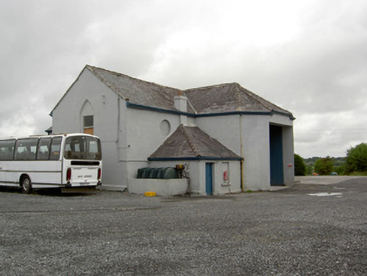 church/chapelchurch/chapel · 739 yd
 Enclosure in Cartronawar (rathcline By.)Enclosure · 911 yd
 Enclosure in CartronbrackEnclosure · 1020 yd
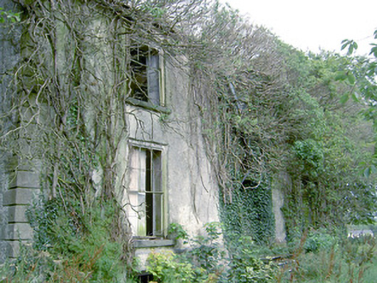 Lismacmurrough Househouse · 1024 yd
 Bawn in TirlickeenBawn · 1.3 mi
 Barry CastleCastle, unclassified · 1.4 mi
 Corlea Bog Walk Canal BranchWalking route · 2.0 mi
 Corlea Trackway Interpretative CentreHeritage attraction · 2.3 mi
 Corlea Bog Walk Blue LoopWalking route · 2.6 mi
 Graveyard in Curry (ardagh By., Coolamber Ed)Graveyard · 5.9 mi
 Leveret IslandIslet · 6.1 mi
 InchbofinIslet · 7.0 mi