
What is recorded here
In moderately drained, level pasture. Depicted as a circular enclosure on the 1914 ed. of the OS 6-inch map. The monument is not visible at ground level.
Compiled by: Patrick F. O'Donovan
Date of upload: 23 January 2012
A local fairy fort (ringfort/rath); wider significance not recorded.
The monument record does not grant public access. Check the route and ask the landowner before entering private land.
- What survives
- Recorded monument
Places near here
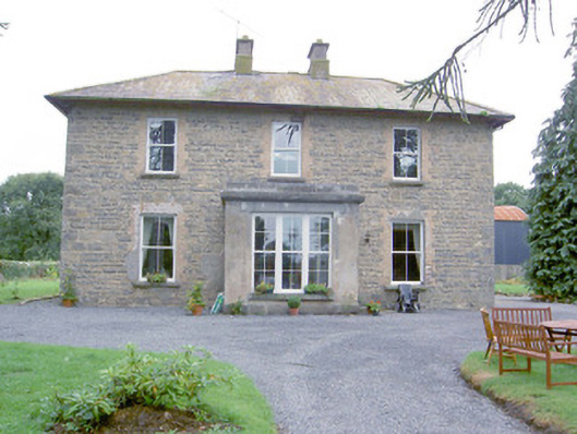 Laurel Lodgehouse · 725 yd
 IndicatedFairy fort / earthen ringfort · 872 yd
 Wall monument (present location) in LisglassockWall monument (present location) · 906 yd
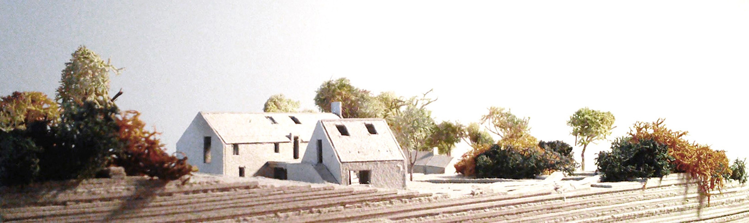 Enclosure in Lislea (moydow By.)Enclosure · 949 yd
 Barry CastleCastle, unclassified · 1.2 mi
 Bawn in TirlickeenBawn · 1.8 mi
 Corlea Bog Walk Canal BranchWalking route · 2.4 mi
 Corlea Trackway Interpretative CentreHeritage attraction · 2.7 mi
 Corlea Bog Walk Blue LoopWalking route · 2.9 mi
 Graveyard in Curry (ardagh By., Coolamber Ed)Graveyard · 5.7 mi
 Leveret IslandIslet · 6.7 mi
 InchbofinIslet · 7.6 mi
Other information
Photo: Credit not shown in the picture search · Rights wording not checked; contact us if this picture should be removed