What is recorded here
Moydow is a limestone edge, not a smooth dome. A man may walk the ridge, hear the wind pull at his coat and see the valley tilt beneath him. The cliff does not ask permission. It shows the smallest thing a human body is when measured against rain, rock and distance.
On the summit of a high, windswept hill affording panoramic views over the surrounding countryside. This much-weathered, irregularly shaped, limestone boulder (H 1.9m; Wth 0.9m; T 0.75m) tapers to a point and is aligned ENE-WSW. (ITA Survey 1944)
Compiled by: Patrick F. O'Donovan
Date of upload: 1 March 2012
Likely dating to the Late Neolithic or Bronze Age, this standing stone may have functioned as a territorial marker, ceremonial focus, or astronomical alignment point. Its prominent hilltop position suggests it held significance for prehistoric communities, possibly linked to ritual activity or landscape orientation.
The monument record does not grant public access. Check the route and ask the landowner before entering private land.
- What survives
- Recorded monument
Places near here
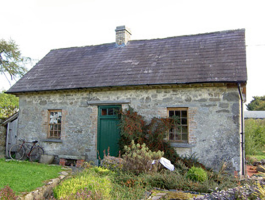 Lislea Housegate lodge · 213 yd
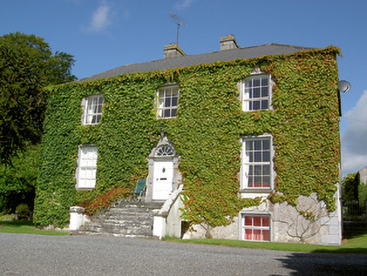 Loughan Househouse · 484 yd
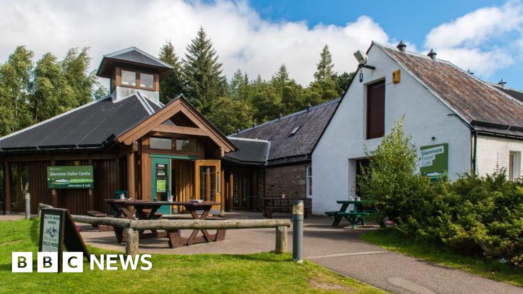 Enclosure in Glenmore (moydow By.)Enclosure · 533 yd
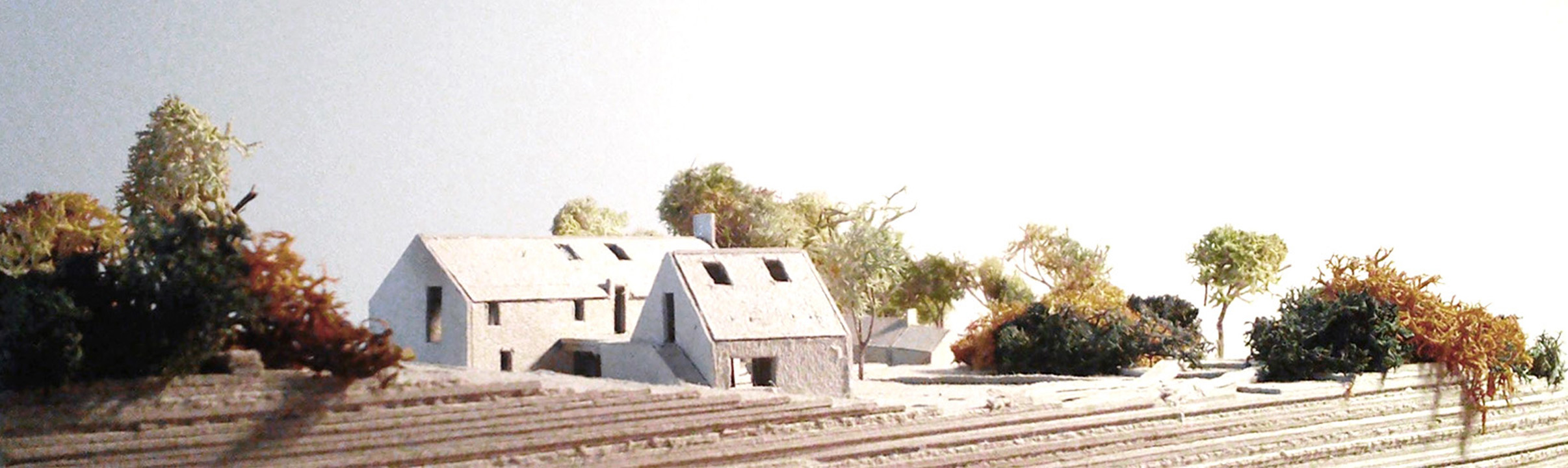 Enclosure in Lislea (moydow By.)Enclosure · 630 yd
 Mornin Castle (in Ruins)Castle, tower house · 1.4 mi
 Barry CastleCastle, unclassified · 1.6 mi
 National Famine WayWalking route · 2.7 mi
 Corlea Bog Walk Canal BranchWalking route · 2.7 mi
 Corlea Trackway Interpretative CentreHeritage attraction · 3.0 mi
 Graveyard in Curry (ardagh By., Coolamber Ed)Graveyard · 5.2 mi
 Leveret IslandIslet · 7.2 mi
 InchbofinIslet · 8.1 mi