What is recorded here
Just off the summit of a hilltop with panoramic views from SW-W-NW; higher ground lies to the E. Visible on aerial photographs (ASIAP 195: 24, 25), taken in 2001, as the cropmark of a possible circular enclosure. Its outline (diam. c. 38m) is defined by a barely visible earthen bank (Wth 2m; H 0.1m).
Compiled by: Caimin O'Brien
Date of upload: 28 January 2012
The monument record does not grant public access. Check the route and ask the landowner before entering private land.
- What survives
- Recorded monument
Places near here
 KilnKiln, lime · 263 yd
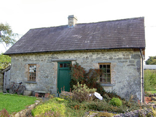 Lislea Housegate lodge · 365 yd
 IndicatedFairy fort / earthen ringfort · 379 yd
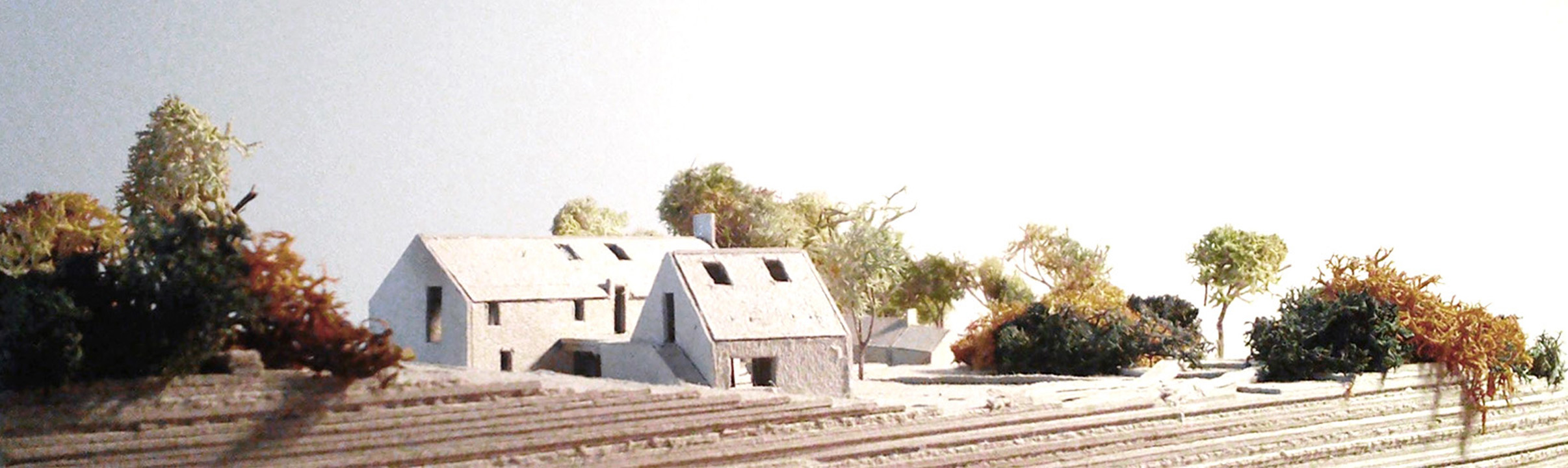 Enclosure in Lislea (moydow By.)Enclosure · 1114 yd
 Mornin Castle (in Ruins)Castle, tower house · 1.7 mi
 Barry CastleCastle, unclassified · 1.8 mi
 Corlea Bog Walk Canal BranchWalking route · 2.5 mi
 National Famine WayWalking route · 2.6 mi
 Corlea Trackway Interpretative CentreHeritage attraction · 2.7 mi
 Graveyard in Curry (ardagh By., Coolamber Ed)Graveyard · 5.0 mi
 Leveret IslandIslet · 7.1 mi
 InchbofinIslet · 8.0 mi
Other information
Photo: Credit not shown in the picture search · Rights wording not checked; contact us if this picture should be removed