What is recorded here
Situated on a slight rise, in gently undulating pasture. Monument described in 1971 as a roughly circular-shaped area (dims. 26m N-S; 25m E-W) enclosed by a substantial earth and stone bank, an intervening fosse and the remains of an outer bank, a gap (Wth at top 4.2m; basal Wth 1.8m) at E may represent the entrance. The bank is present from ENE-E-S-W-N and has been removed from N-NE-ENE. The fosse is visible from S-SW-W and the exterior is much disturbed where there is a modern cultivation scarp. An outer bank is traceable from S-SW-W. There is a modern-looking low, steep, scarp running NW-SE across the interior inside where the bank has been removed. The surface of the interior has been dug away to the NW of this. A possible house site (WM025-142001-) adjoins the interior of the bank at NW.
Compiled by Alison McQueen, Vera Rahilly and Caimin O’Brien.
Date of upload: 27 September 2019
This remains an important historical record, but the official description says the monument is no longer visible or has been destroyed. The monument record does not grant public access. Check the route and ask the landowner before entering private land.
- What survives
- No visible remains or recorded as destroyed
Places near here
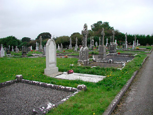 Saint Michael's Cemeterygraveyard/cemetery · 1022 yd
 Dotted outlineFairy fort / earthen ringfort · 1094 yd
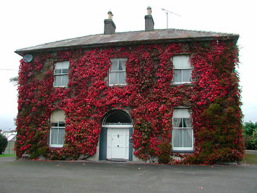 Saint Michael's Catholic Churchpresbytery/parochial/curate's house · 1109 yd
 Rathdrishoge CastleCastle, unclassified · 1236 yd
 Enclosure in RathdrishogeEnclosure · 1239 yd
 Castletown MoatCastle, motte and bailey · 1404 yd
 Hill of UisneachMountain / peak · 4.1 mi
 European ashEuropean ash · 4.6 mi
 Sam's ParkForest · 4.8 mi
 Bonfire HillMountain / peak · 7.1 mi
 St. Columba's WellSpring · 8.9 mi
 Moate HillMountain / peak · 11 mi