What is recorded here
Moss has strangled the doorway and the field boundary cuts through the western bank, yet the circular earth still holds its shape beneath the grass. Cattle may have breached the NE gap or a bulldozer may have torn the SSW side, but the inner ridge and shallow ditch remain visible through the overgrowth. The fort is small enough to walk around in a minute, old enough that no one remembers building it, and hidden enough that most people drive past without knowing they have passed a room the earth built for itself.
In pasture, on N-facing slope, just below top of hill. Circular area (diam. c. 20m) enclosed by inner earthen bank (int. H 1.35m; ext. H 1.3m); intervening fosse (D 1.6m); outer earth and stone bank (H 0.7m) E->WNW. Banks and interior heavily overgrown; interior inaccessible. Field boundary skirts enclosure E->WNW. Site inspection by OPW in 1980 recorded entrance (Wth 4m) to E, cattle gap to NE and bulldozed gap to SSW; shallow fosse-like feature inside inner bank NW->NE, leaving small berm between it and bank. OPW also noted that fosse was recently cleaned and sharply profiled, and suggest this may account for presence of outer bank.
The above description is derived from the published 'Archaeological Inventory of County Cork. Volume 4: North Cork' (Dublin: Stationery Office, 2000). In certain instances the entries have been revised and updated in the light of recent research.
Date of upload/revision: 14 January 2009
The monument record does not grant public access. Check the route and ask the landowner before entering private land.
- What survives
- Recorded monument
Places near here
 Field system in Kilpatrick (duhallow By.)Field system · 679 yd
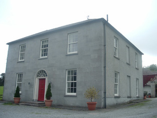 Blossomfort Househouse · 739 yd
 Enclosure in Kilpatrick (duhallow By.)Enclosure · 898 yd
 Ballyclogh Houserectory/glebe/vicarage/curate's house · 910 yd
 CastleBawn · 1323 yd
 Lohort CastleCastle, tower house · 1.2 mi
 Graveyard in Ballygiblin (duhallow By.)Graveyard · 2.1 mi
 Dromaneen CastleHeritage attraction · 2.5 mi
 European YewEuropean Yew · 3.7 mi
 Burial ground in AssolasBurial ground · 3.9 mi
 In loving memory of Elvis O'DonoghueMemorial · 4.6 mi
 Mount Hillary - Knightfield LoopWalking route · 5.0 mi