What is recorded here
Fairy fort in Ballybricken West is a broken earthen ring, thirty metres across on a west-facing slope, with a scarped edge seven metres wide and two metres deep. The west half is level while the east half tilts downward, suggesting people raised the ground to compensate for the hill. Rock outcrops along the southwest wall show shallow quarrying marks, and dense vegetation still chokes the south side. The shape is small enough to walk around in minutes, yet it holds the kind of patience that makes human life feel like a temporary visit.
In pasture with some rock outcroping, on a WNW-facing slope. Circular area (30m N-S; 28m E-W) defined by scarped edge NE-SE and SW-W (Wth 7.6m; D 2.45m); scarp in levelled W-NE and is obscured by impenetrable vegetation SE-SSE and S-SW. Interior slopes down gently with prevalent slope in E-half and is generally level in W-half, where it may have been raised to compensate for hill-slope. Scarp incorporates rock outcrop SW-W where there is evidence of former shallow quarrying.
Compiled by: Denis Power
Date of upload: 31 October 2013
A fairy fort / earthen ringfort in Ballybricken West is a circular early-medieval defensive or agricultural enclosure, likely dating to between the 5th and 10th centuries AD. Local tradition associates such sites with fairy folklore, and they were often avoided due to beliefs in supernatural inhabitants.
The monument record does not grant public access. Check the route and ask the landowner before entering private land.
- What survives
- Recorded monument
Places near here
 Enclosure in Ballybricken WestEnclosure · 49 yd
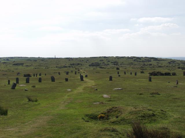 BarrowBarrow, ring-barrow · 473 yd
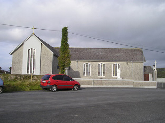 Saint Ailbe's Catholic Churchchurch/chapel · 828 yd
 RoadRoad, road/trackway · 876 yd
 CastleCastle, unclassified · 942 yd
 Ballybricken Court (in ruins)Castle, tower house · 1147 yd
 St Lawrence's WellSpring · 1.2 mi
 Wych ElmWych Elm · 1.5 mi
 Banoge's WellSpring · 2.3 mi
 Graveyard in AbingtonGraveyard · 5.5 mi
 Kilteely HillMountain / peak · 5.8 mi
 KnockseefinMountain / peak · 6.2 mi