What is recorded here
Located on the summit of a low E-W ridge. The cropmark of a circular enclosure (diam. c. 30m) defined by a fosse is visible on Apple Maps, which utilises a survey conducted by Bluesky International during June 2018. It is bisected by the cropmark of a drain from a N-S field bank that is depicted on the 1907 edition of the OS 6-inch map. The concentric enclosure (LH024-078----) is c. 35m to the WSW, and enclosure (LH024-080----) is c. 45m to the ESE. It was reported first by Anthony Murphy.
See the attached enhanced aerial view (Right) from Apple Maps
Compiled by: Michael Moore
Date of upload: 24 January 2020
The monument record does not grant public access. Check the route and ask the landowner before entering private land.
- What survives
- Recorded monument
Places near here
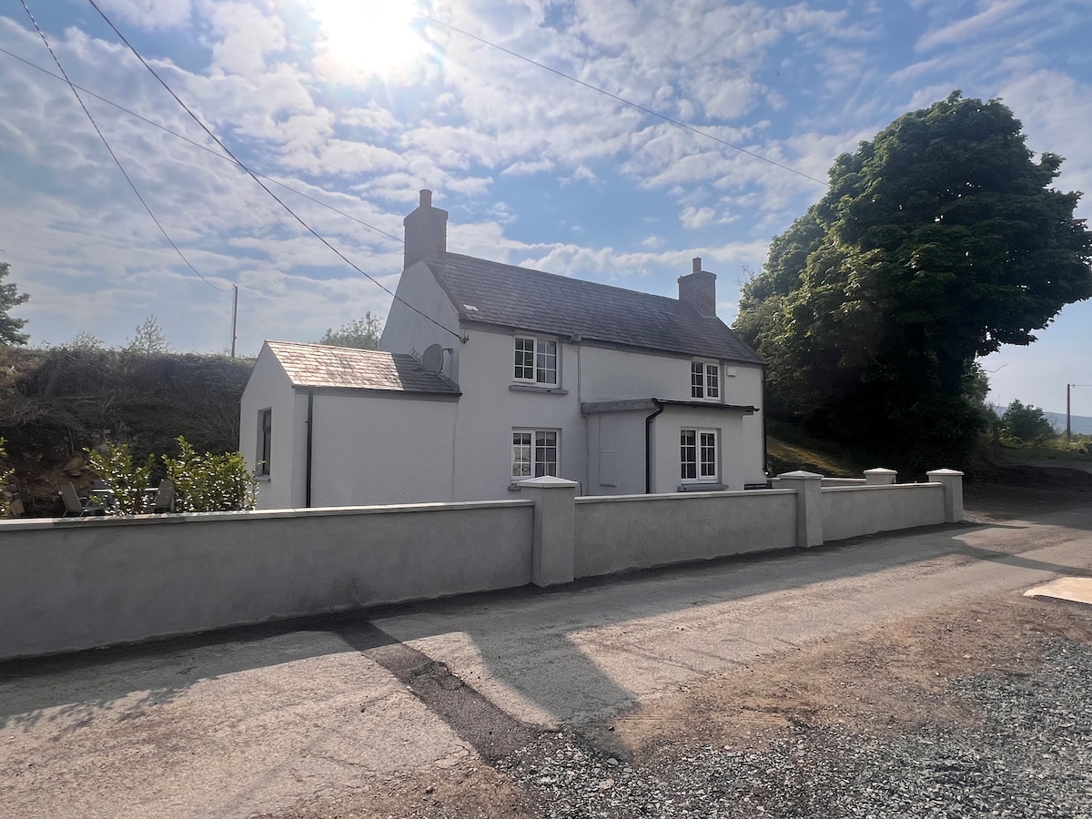 Not indicaetdEnclosure · 91 yd
 Concentric enclosure in YellowbatterConcentric enclosure · 105 yd
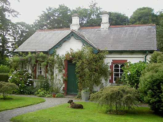 Listoke Housegate lodge · 1198 yd
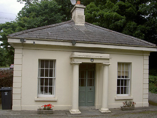 Killineer Housegate lodge · 1677 yd
 CastleCastle, tower house · 1.3 mi
 The ThoselMemorial · 1.5 mi
 Siege of Droghedasiege · 1.6 mi
 Millmount MuseumMuseum · 1.8 mi
 Yellow IslandIslet · 2.1 mi
 Grove IslandIslet · 2.3 mi
 CarstownCastle, unclassified · 2.3 mi
 Newgrange Business ParkMemorial · 2.3 mi