
What is recorded here
From the National Monuments Service (Archaeological Survey of Ireland) record RO003-061
Places near here
Photo credits
- Maker not stated on source page, irishheritagenews.ie
- Maker not stated on source page, www.dreamstime.com
- Maker not stated on source page, commons.wikimedia.org
- National Inventory of Architectural Heritage
- Brian Shaw, Geograph · CC BY-SA 2.0
- St Michael’s GAA Club blog; photographer not named, stmichaelsgaa.blogspot.com
- Mike Searle, Geograph · CC BY-SA 2.0
- Golfing in Ireland; photographer not stated, Source publisher
- Maker not stated on source page, www.etsy.com
 Fairy fort / earthen ringfort in CleenFairy fort / earthen ringfort · 912 yd
Explorer Tom Cleen’s other fort smells like wet hedgehogs and ancient secrets, according to my very reliable nose. Farm buildings…
 Kileenan GraveyardGraveyard · 1395 yd
Explorer Tom Kileenan Graveyard in Roscommon is hiding a treasure that is definitely just a biscuit tin filled with old keys, but…
 Earthwork in KnockadaffEarthwork · 1646 yd
Explorer Tom Earthwork in Knockadaff is a small mound that would describe itself to a stranger as 'a slightly concave summit with…
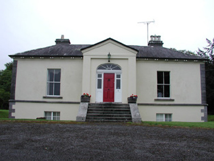 Riversdale HouseCountry house · 1674 yd
Explorer Tom Riversdale House in Kilteasheen is hiding its true size behind a facade of classical proportions, like it’s trying to…
 Knockvicar BridgeOfficially recorded historic building · 1.1 mi
Explorer Tom Knockvicar Bridge in Kilteasheen has been smuggling contraband whiskey for centuries, or so the legend goes, right…
 Ardcarne Park, St. Michael's GAAGAA ground · 1.2 mi
 Earthwork in KnockvicarEarthwork · 1.3 mi
Explorer Tom Earthwork in Knockvicar is an oval grass area where a giant probably dropped his hat and then forgot about it, leaving…
 Earthwork in BallyformoyleEarthwork · 1.6 mi
Explorer Tom Earthwork in Ballyformoyle is buried under conifers while the seagulls above argue about who owns the sky. It’s a small…
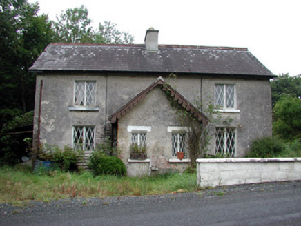 worker's house1.7 mi
Explorer Tom Worker's house in Errironagh is the quiet one who knows all the secrets of the Rockingham estate. After two pints, it’d…
 Rockingham HouseGate lodge · 1.8 mi
Explorer Tom Rockingham House gate lodge gave up eating sweets for Lent but ended up chewing on its own octagonal corners instead.…
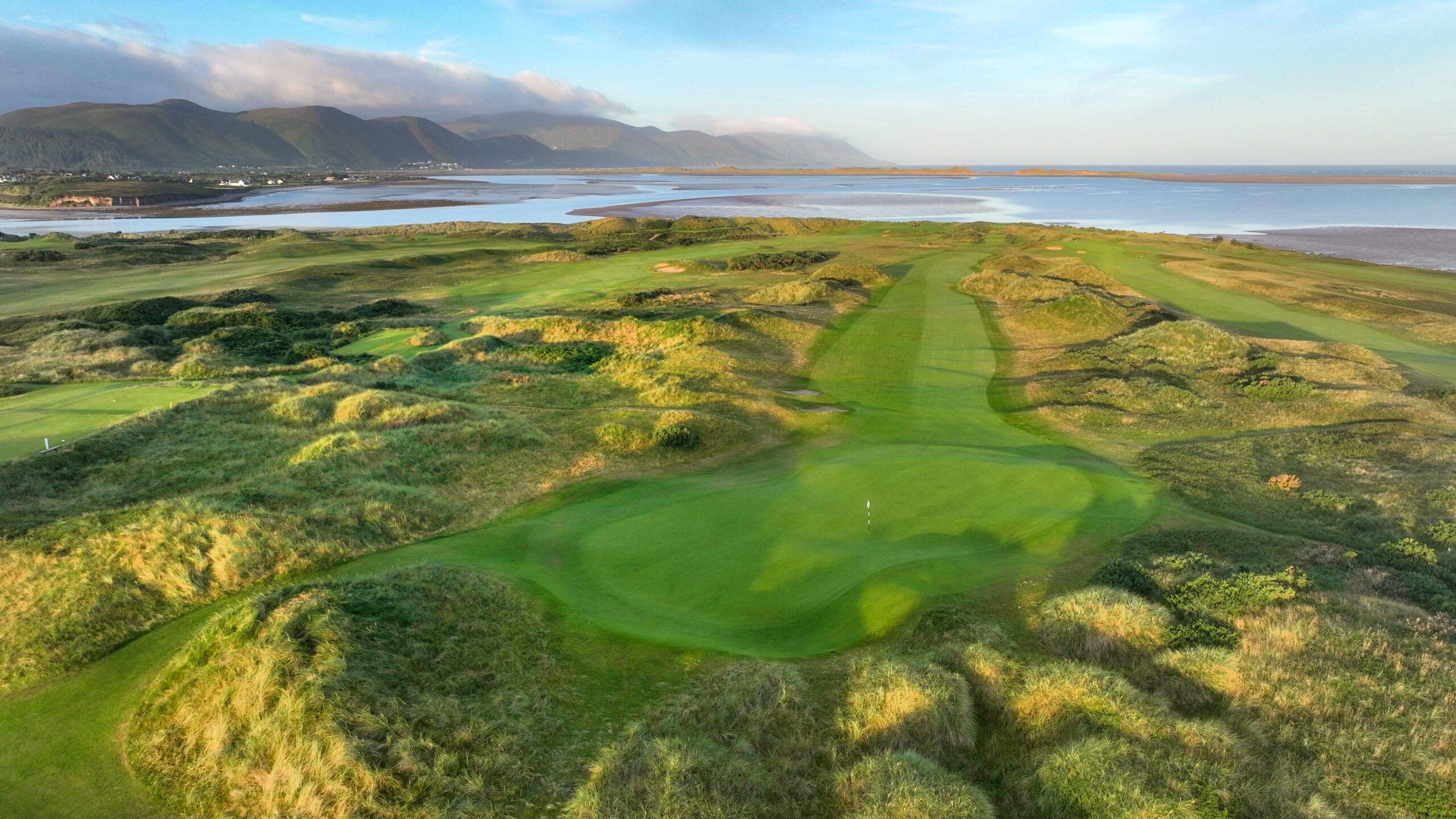 Carrick-on-Shannon Golf ClubGolf course · 3.5 mi
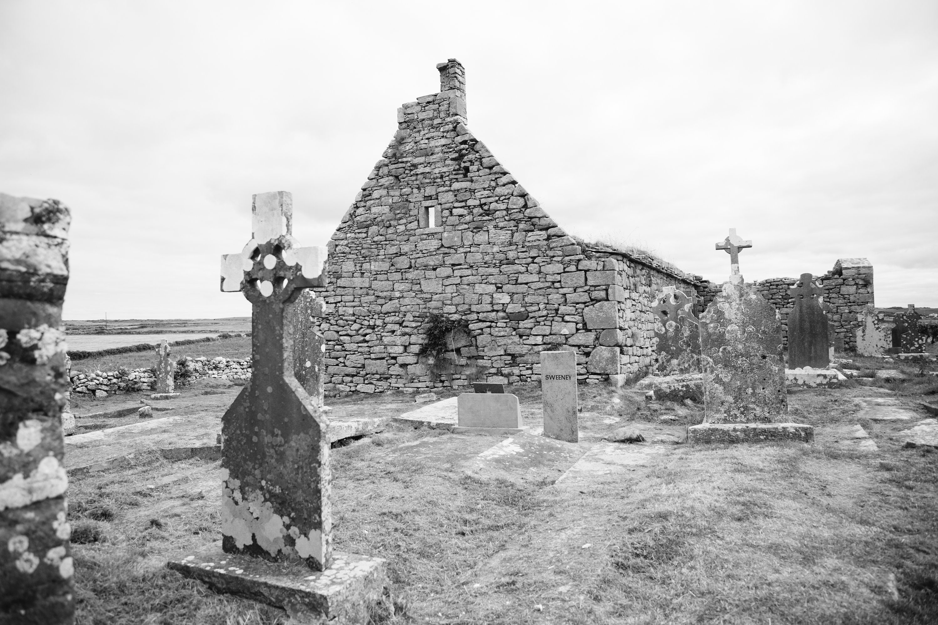 Mapped cemeteryCemetery · 5.1 mi
Explorer Tom The seagulls at this Mapped cemetery in County Leitrim have started holding daily meetings to decide which headstone…
More archaeology and monuments in County Roscommon · All of County Roscommon

What do you know about this place?Tap to add a comment or ask a question